• Home
  • Adventures
  • San Marcos River
  • San Marcos Bird Walk
    • Live Stream
  • @placesandpizza
  • @stephenandsparrow
  • Home
  • Adventures
  • San Marcos River
  • San Marcos Bird Walk
    • Live Stream
  • @placesandpizza
  • @stephenandsparrow
  Birdsiview

Southwest SUmmer 2018

Day 10 - Kings Canyon/Sequoia National Parks

6/18/2018

0 Comments

 
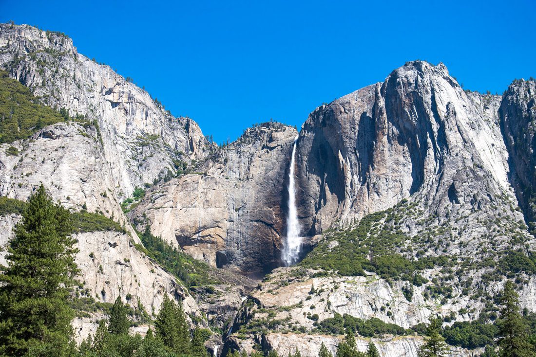
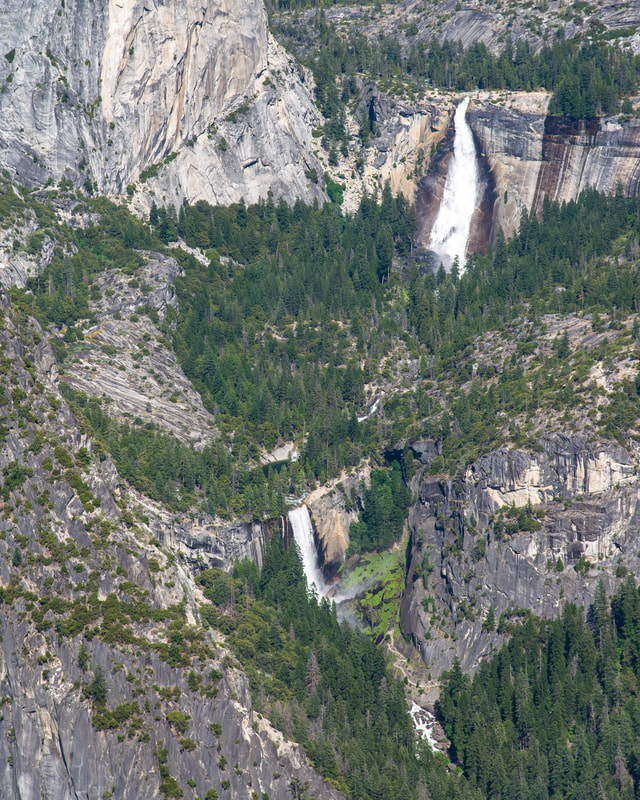
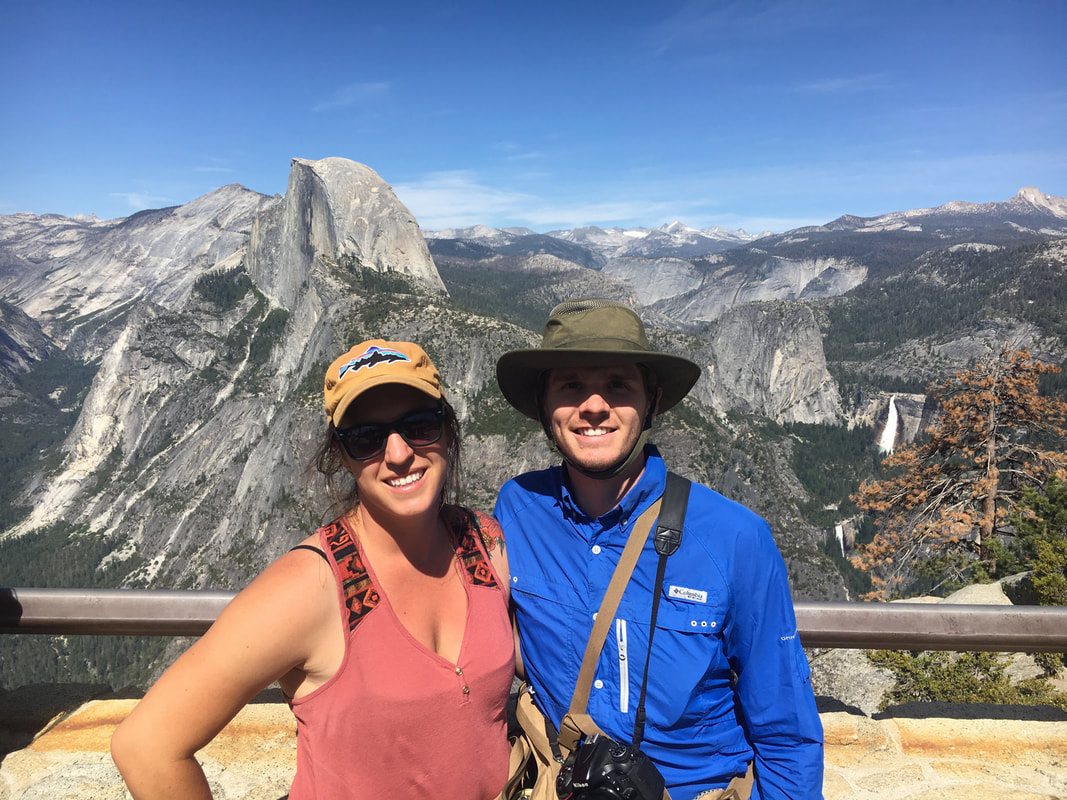
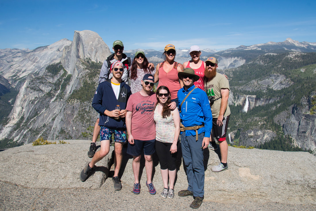
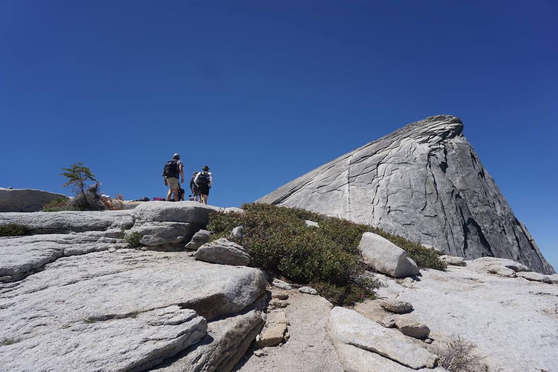
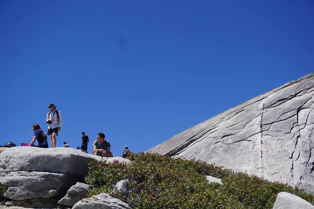
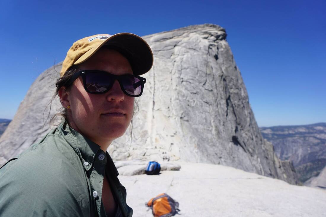
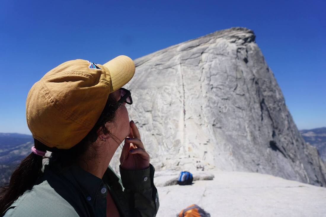
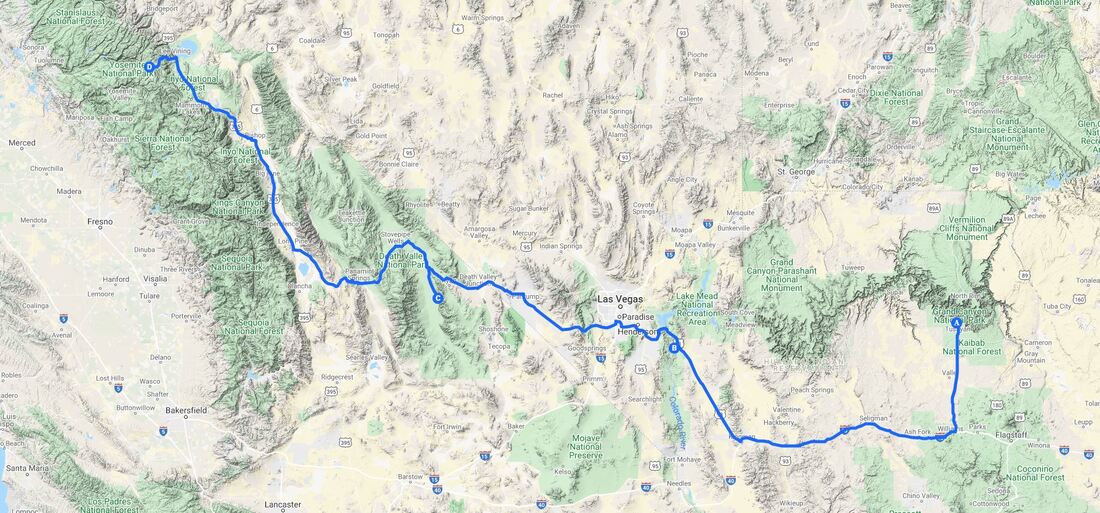
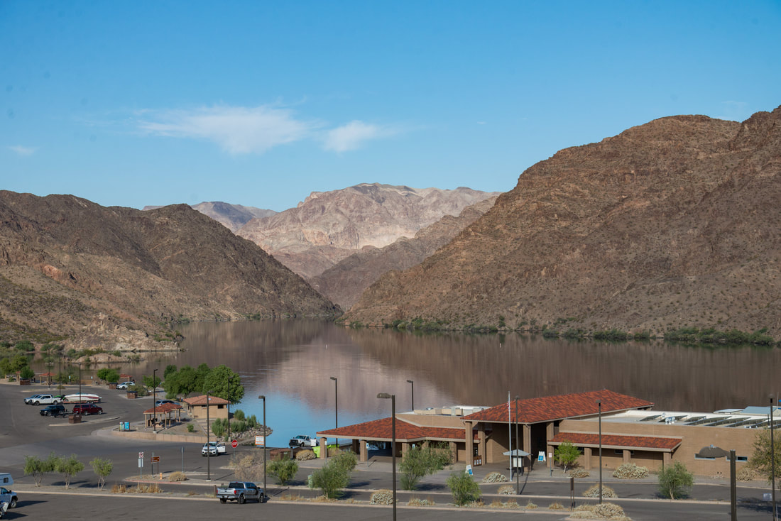
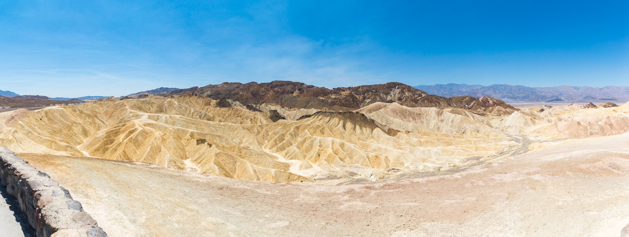
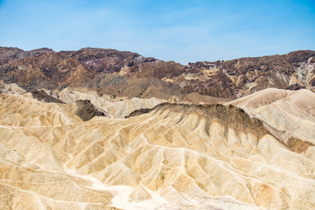
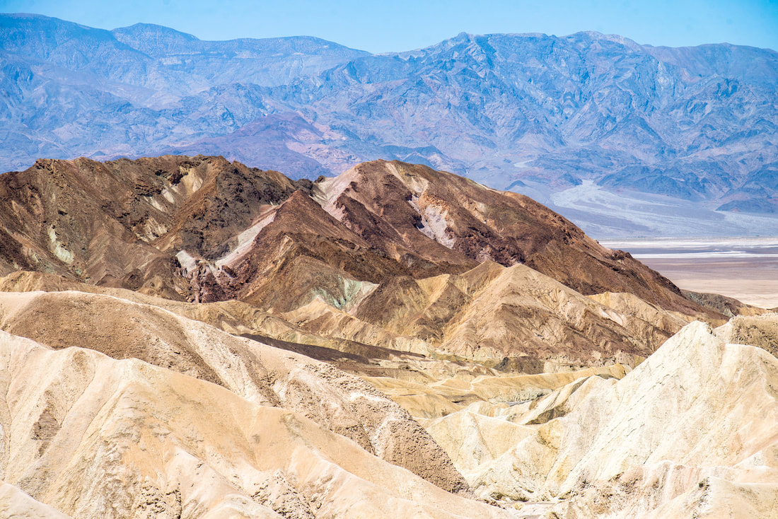
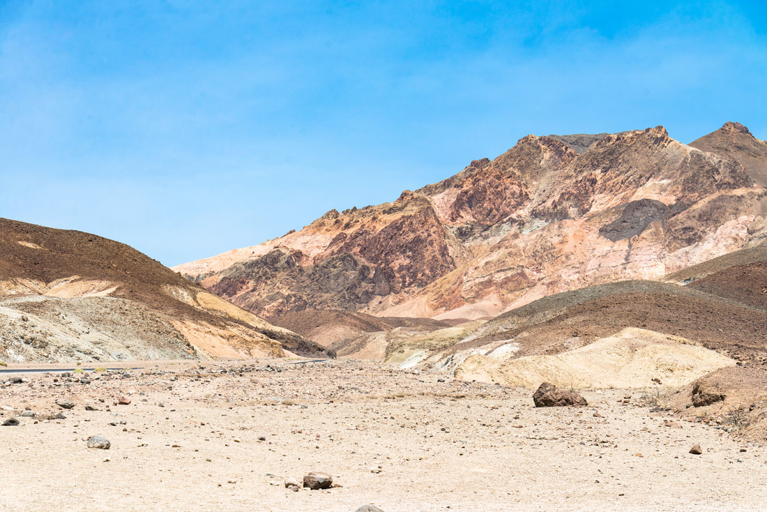
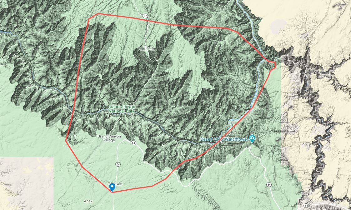
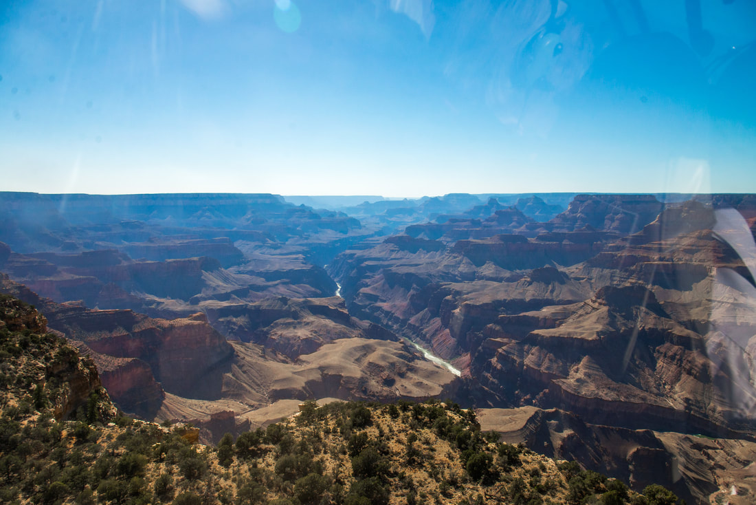
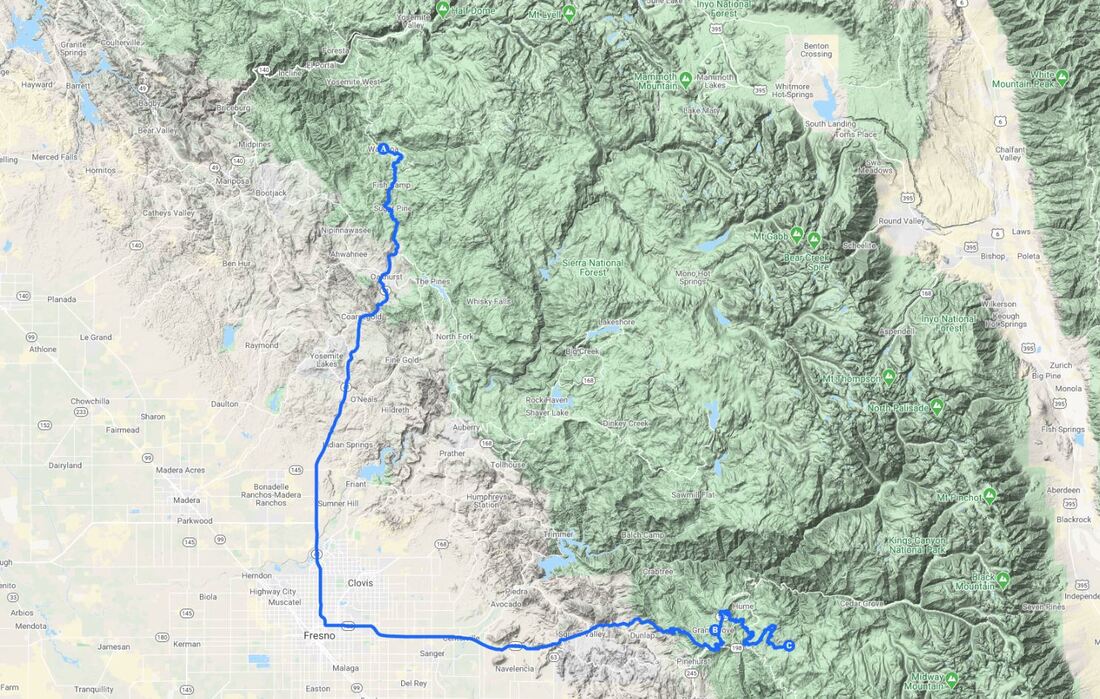
Our last plan in California was to see some giant Sequoia trees. From the big tree lodge at Yosemite we drove down to Kings Canyon/Sequoia National Parks, about a 4 hour drive. The two parks are adjacent to each other so it's kind of hard to differentiate the two. Technically we were only ever in a little arm of Kings Canyon NP and camped in the Sequoia National Forest between the two park boundaries to make it even more confusing.
Picture
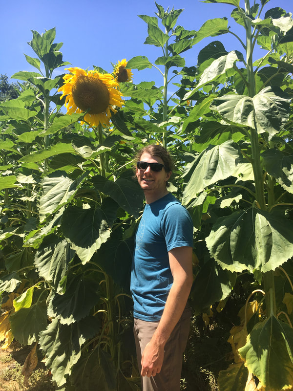
Somewhere outside of Fresno we stopped at a roadside sunflower maze.
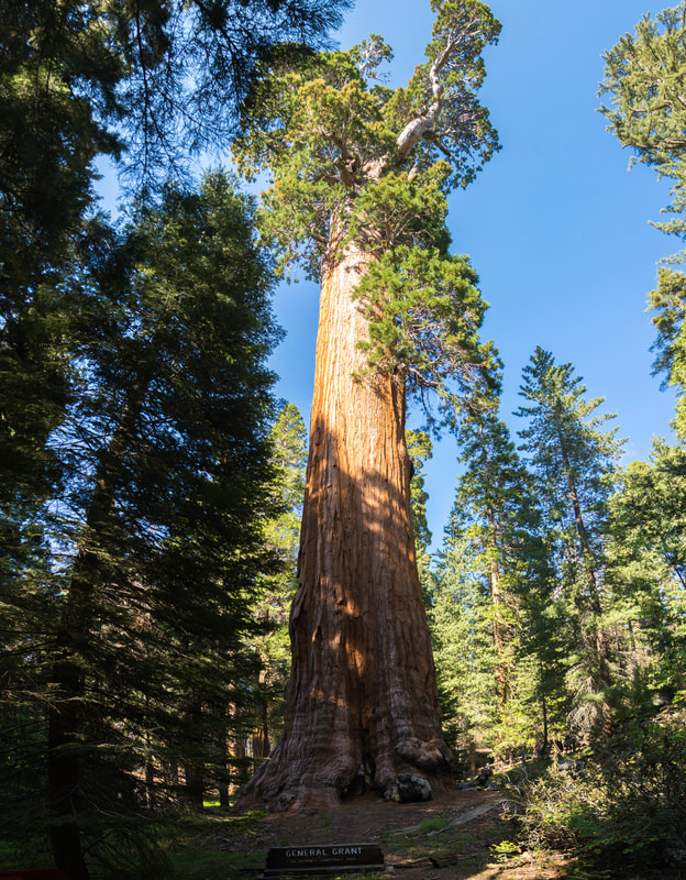
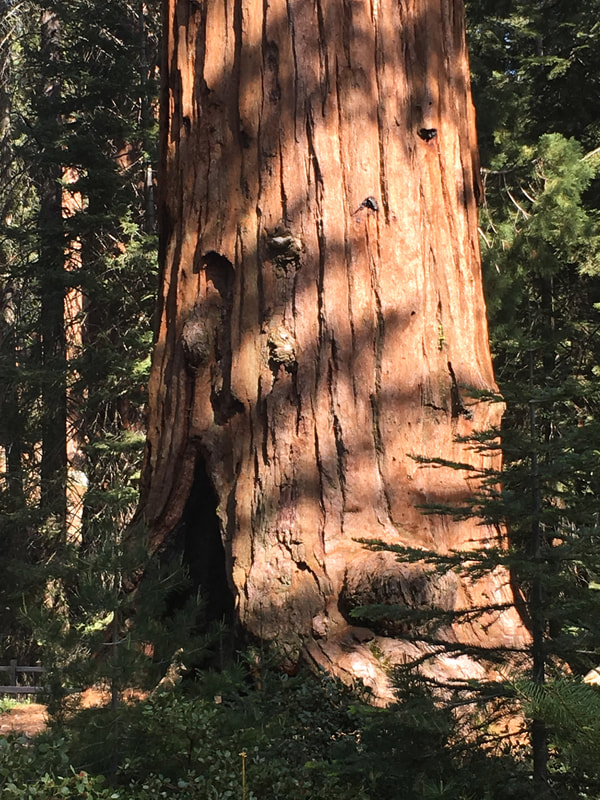
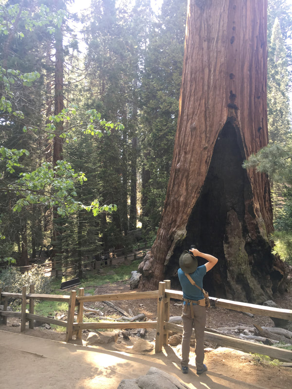
This ginormous tree is General Grant. An estimated 1,650 years old. 267.4 ft tall and 107.6 ft in circumference at ground level.
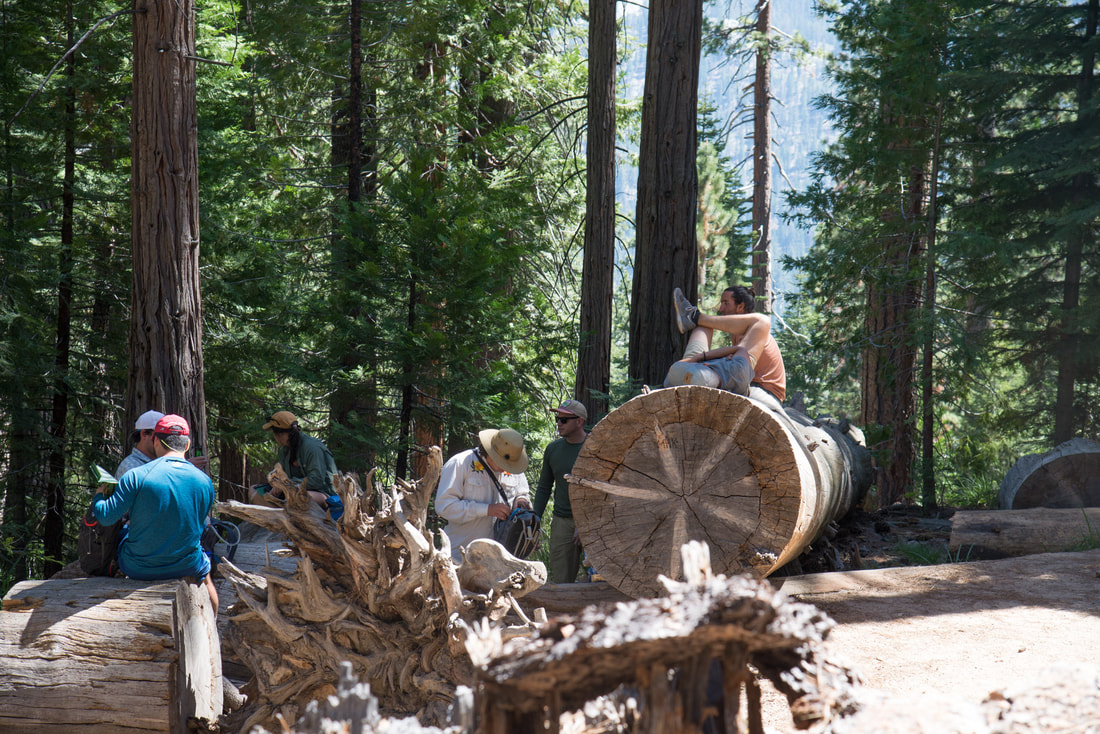
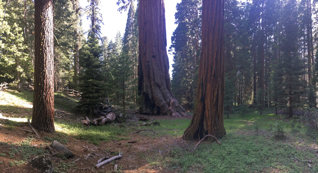
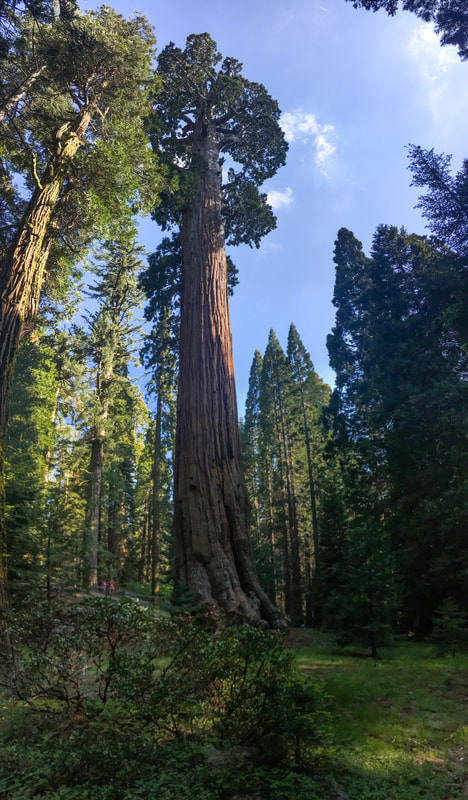
We wandered around the short loop around General Grant but didn't take too many photos
Picture
Picture
Picture
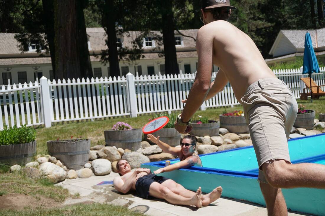
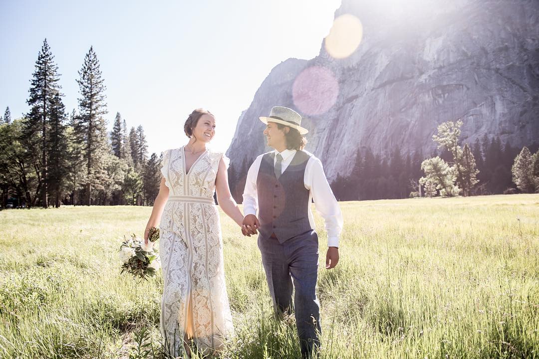
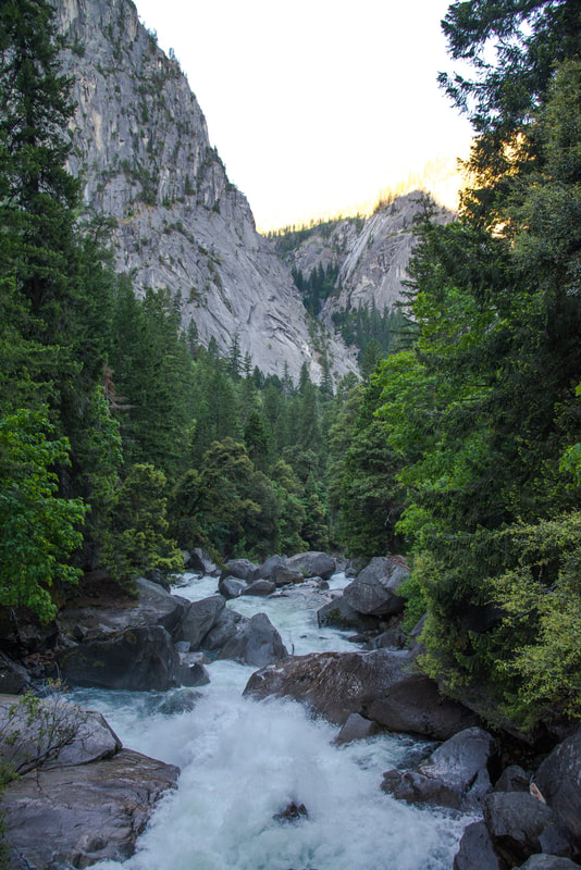
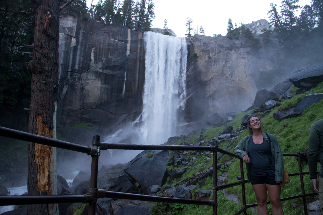
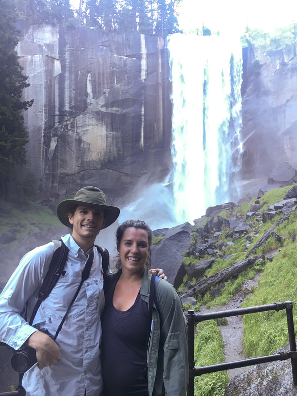
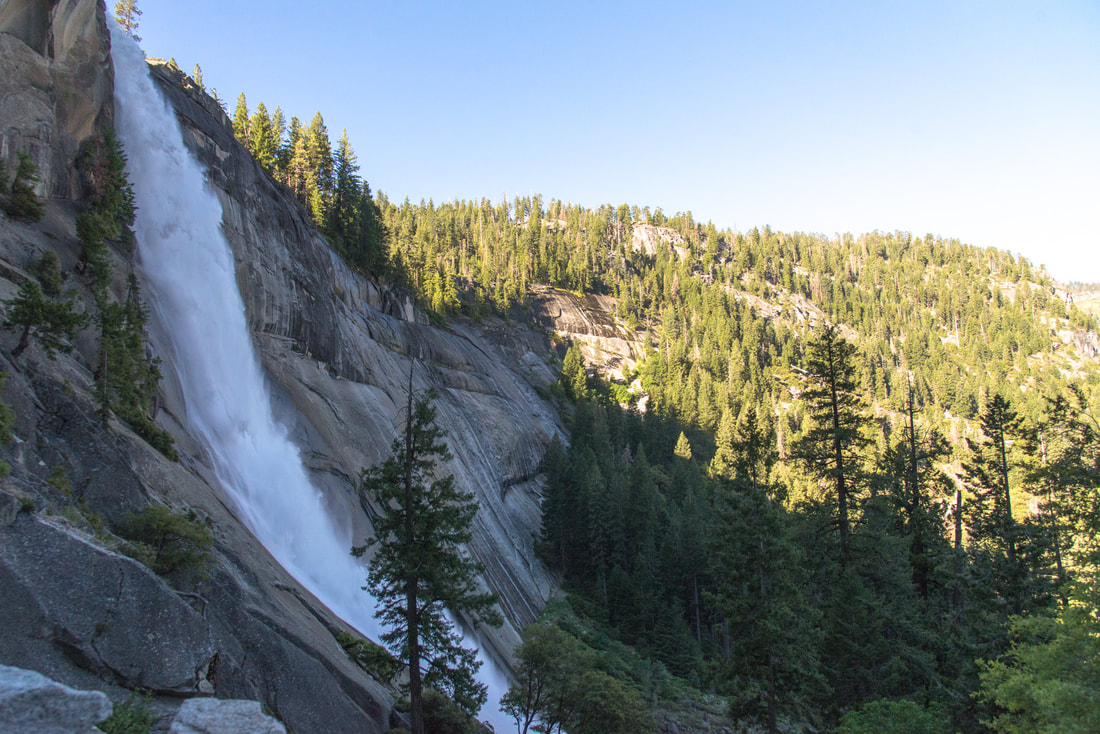
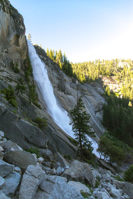
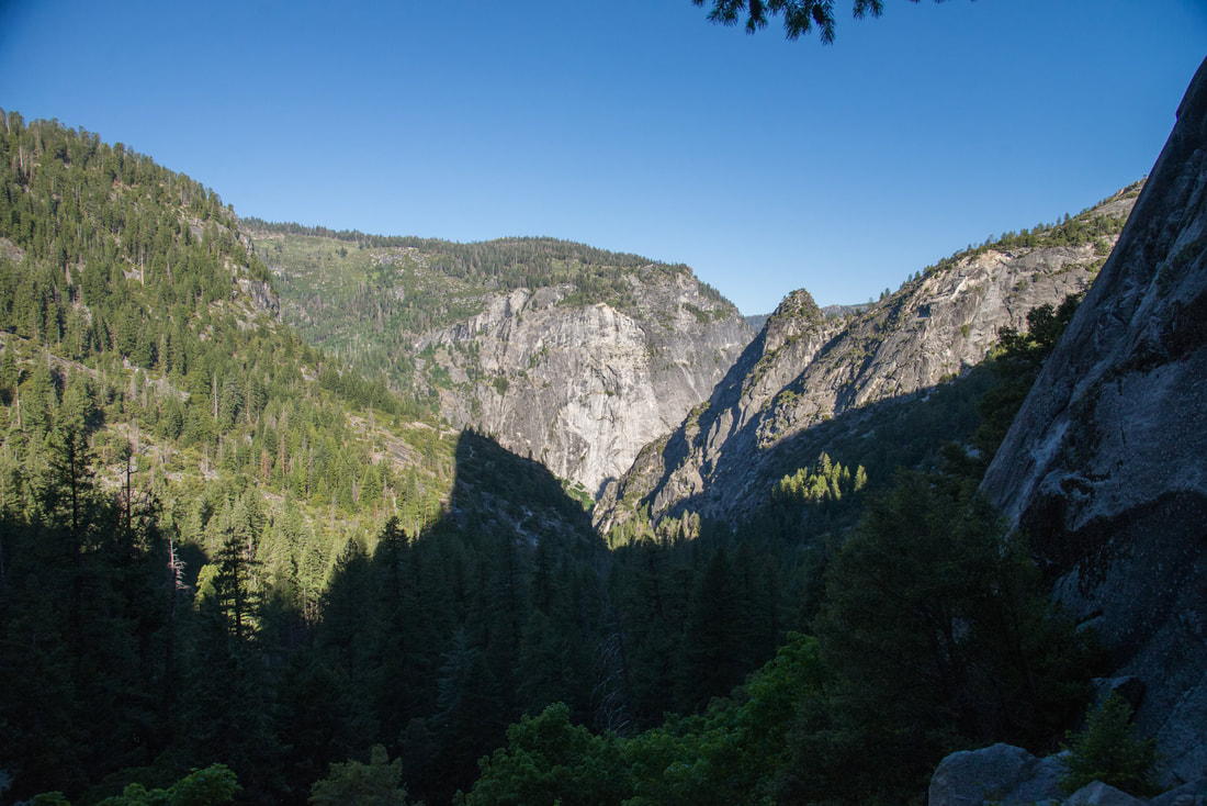
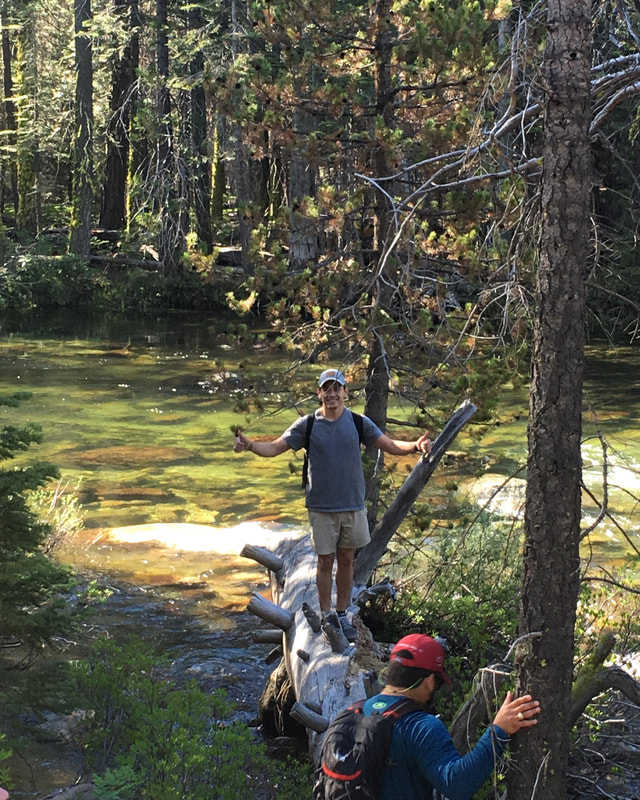
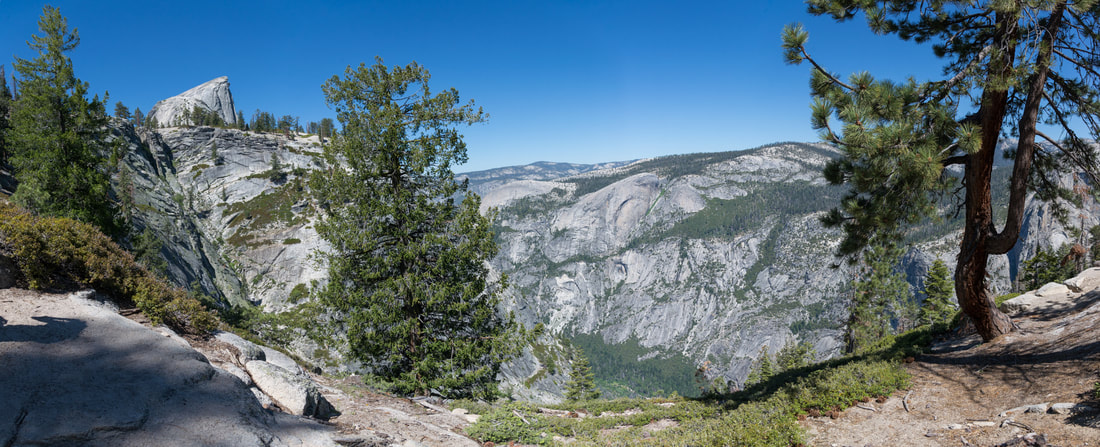
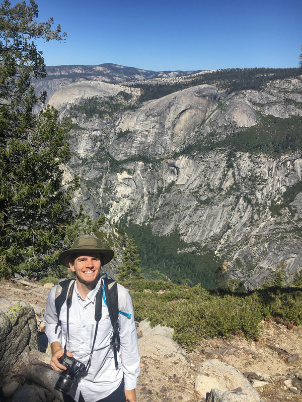
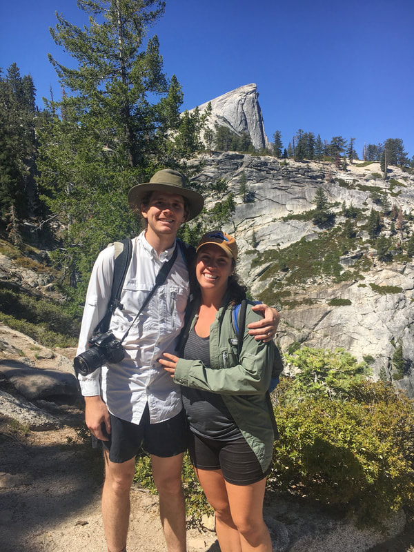
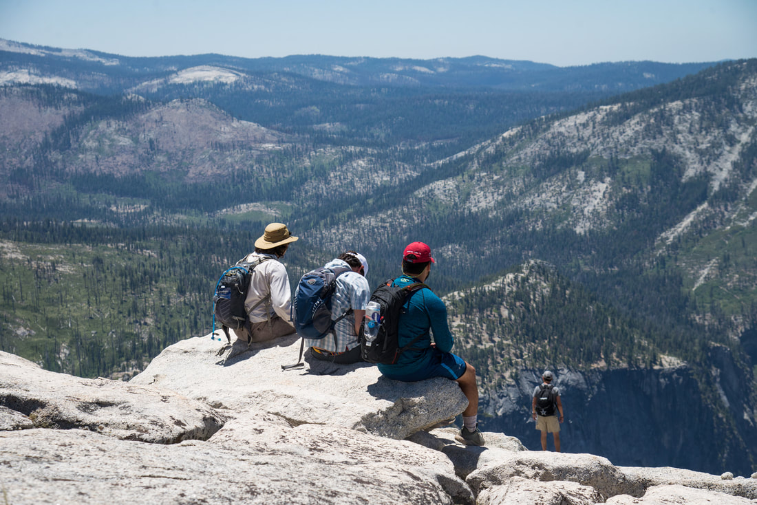
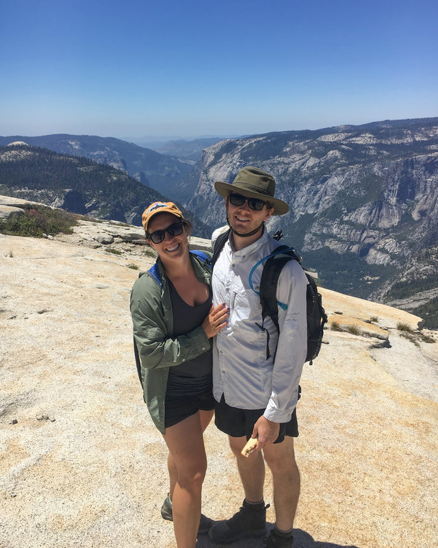
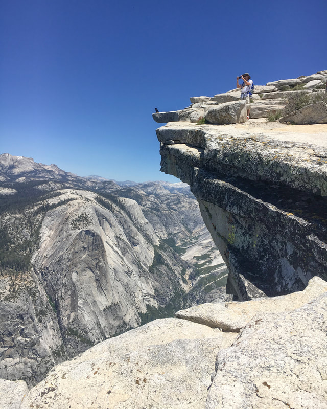
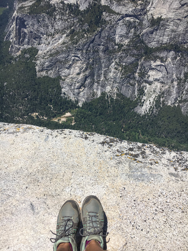
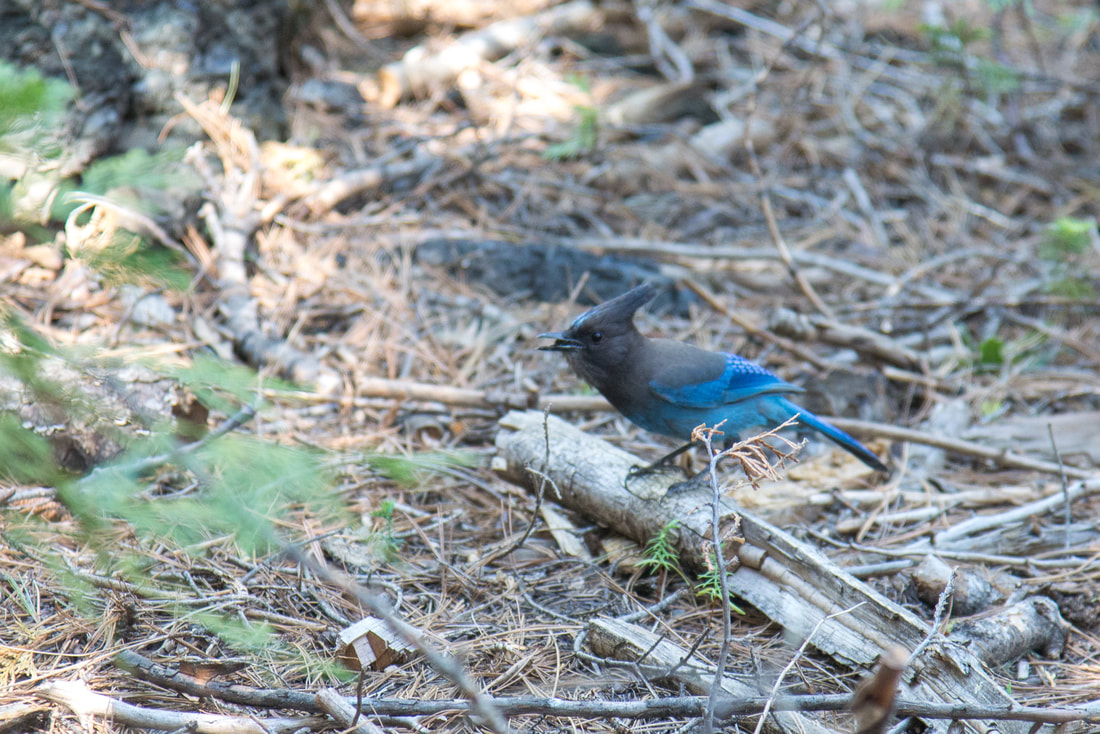
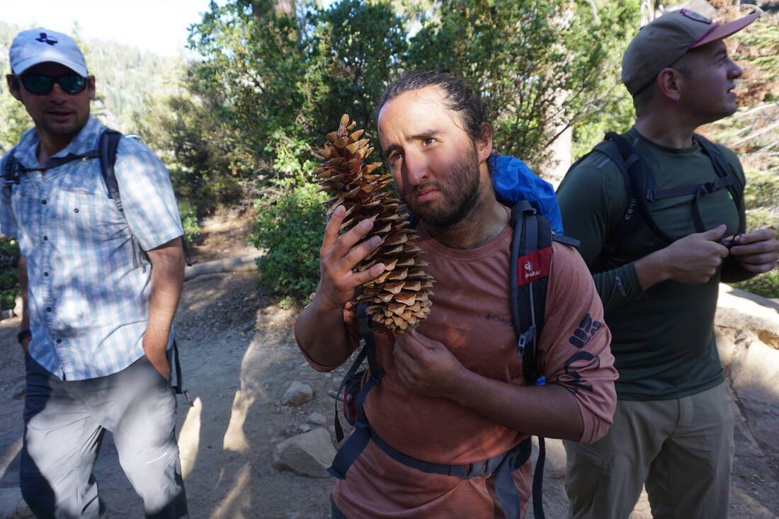
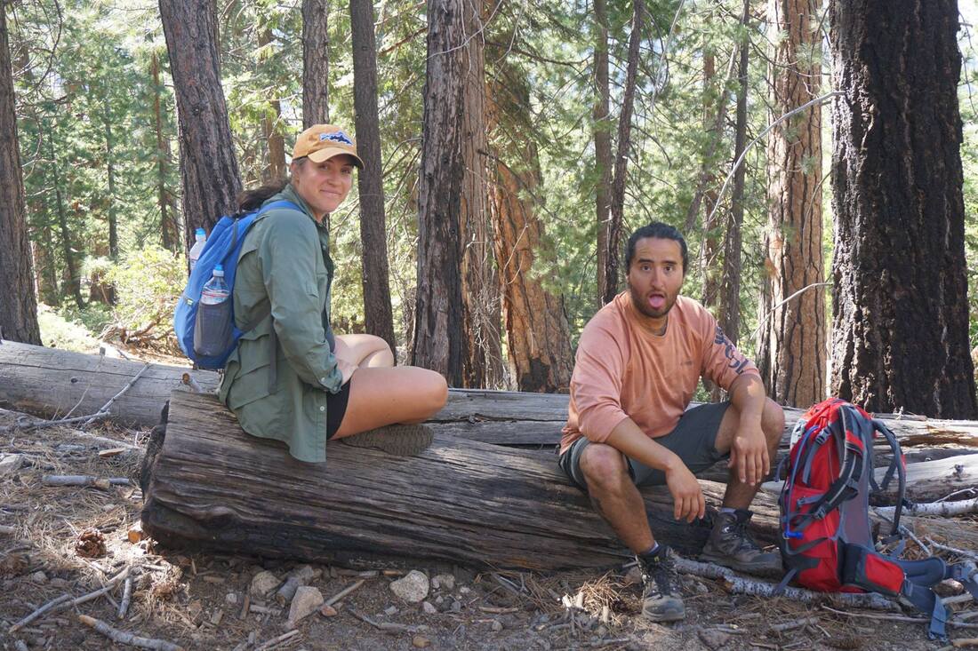
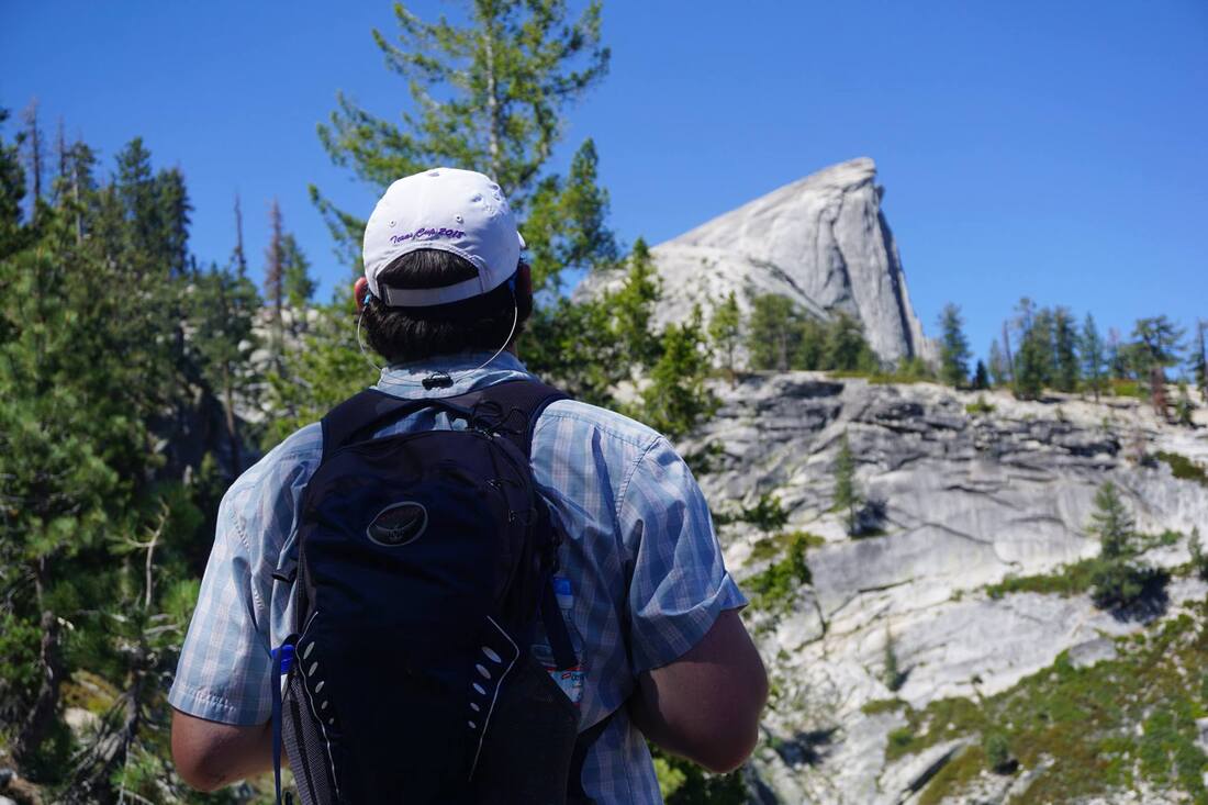
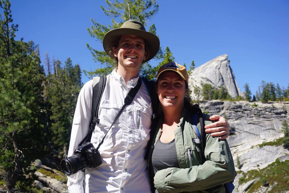
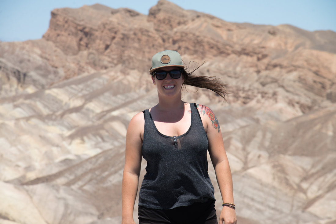
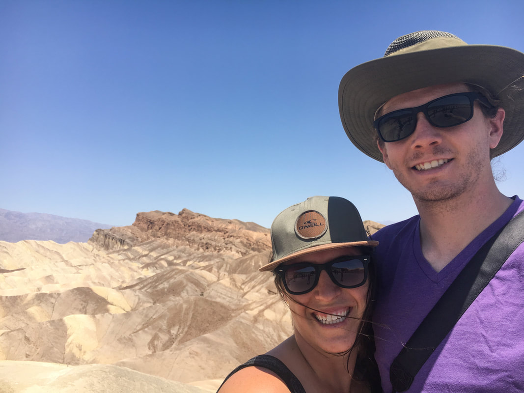
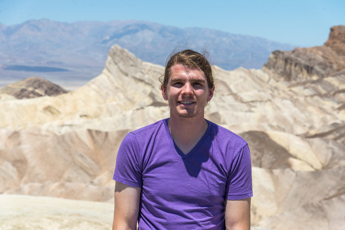
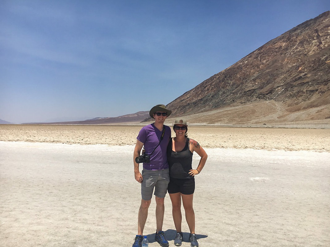
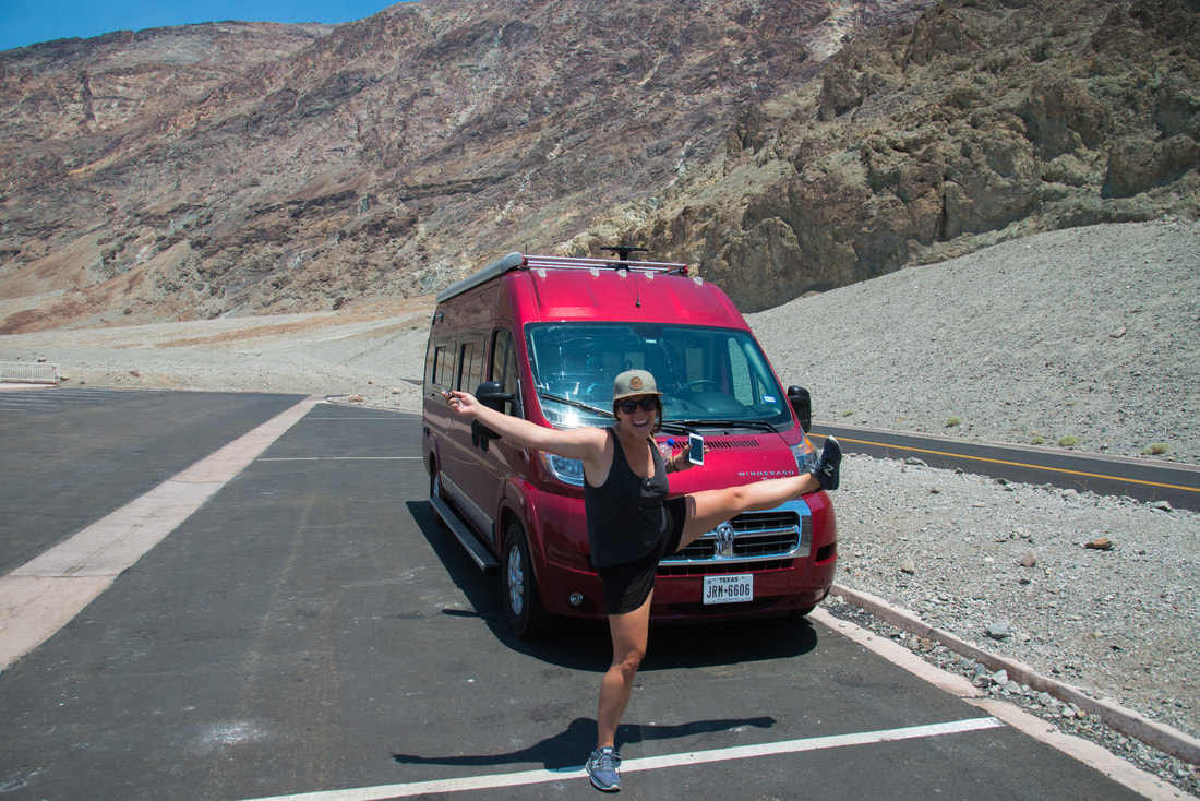
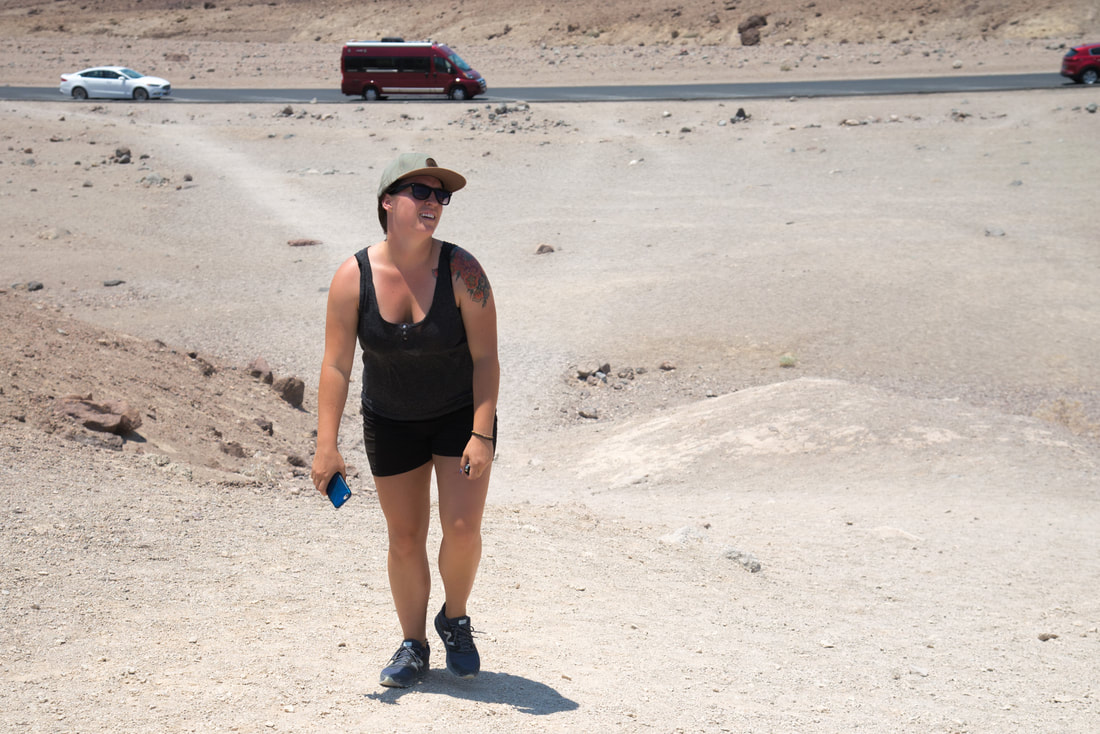
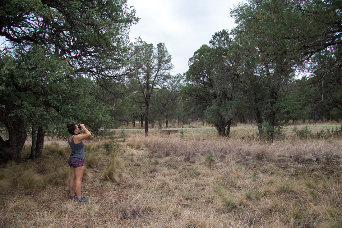
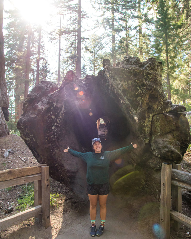
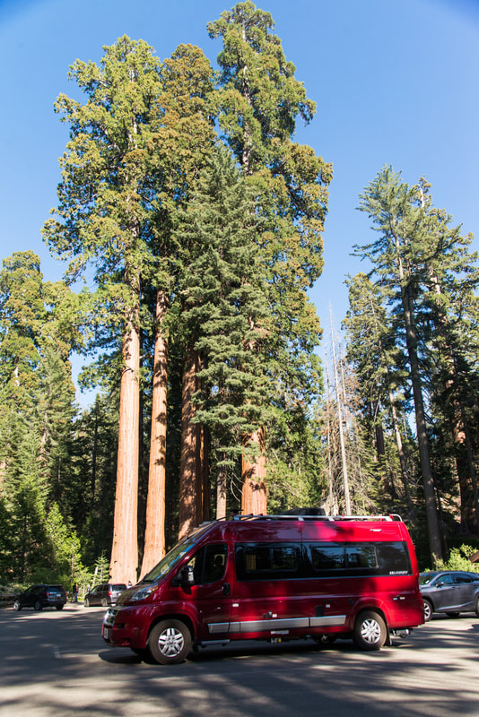
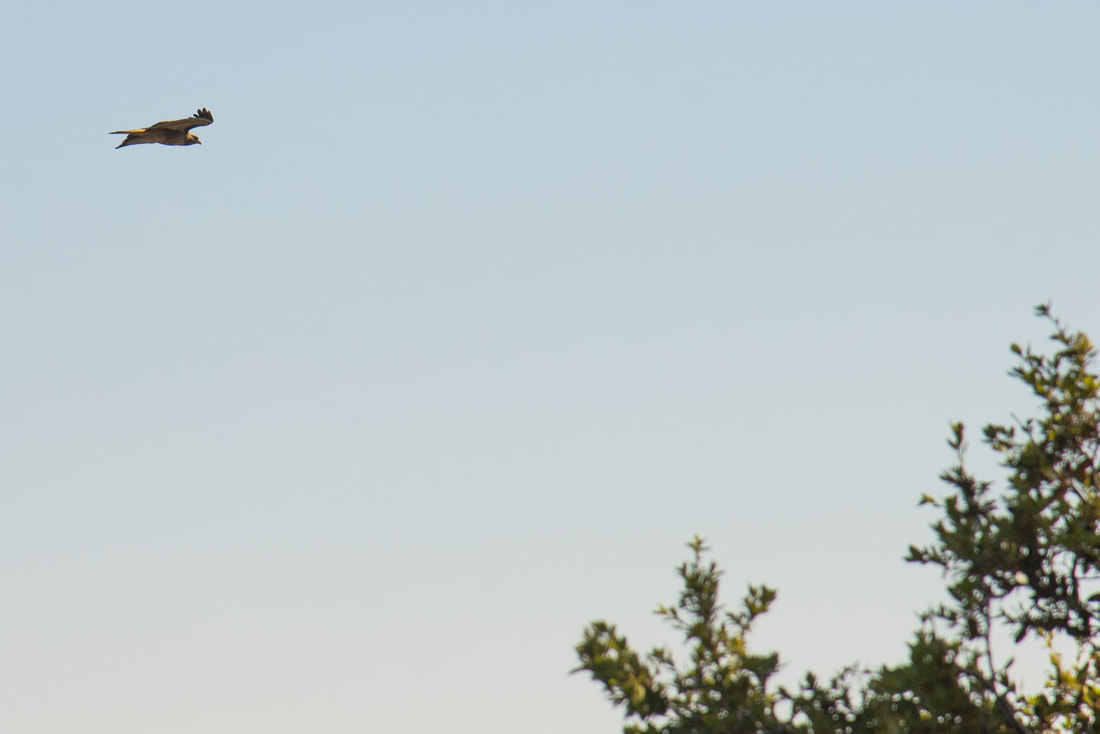
Here are a few photos from Jess's phone.
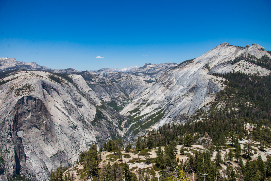
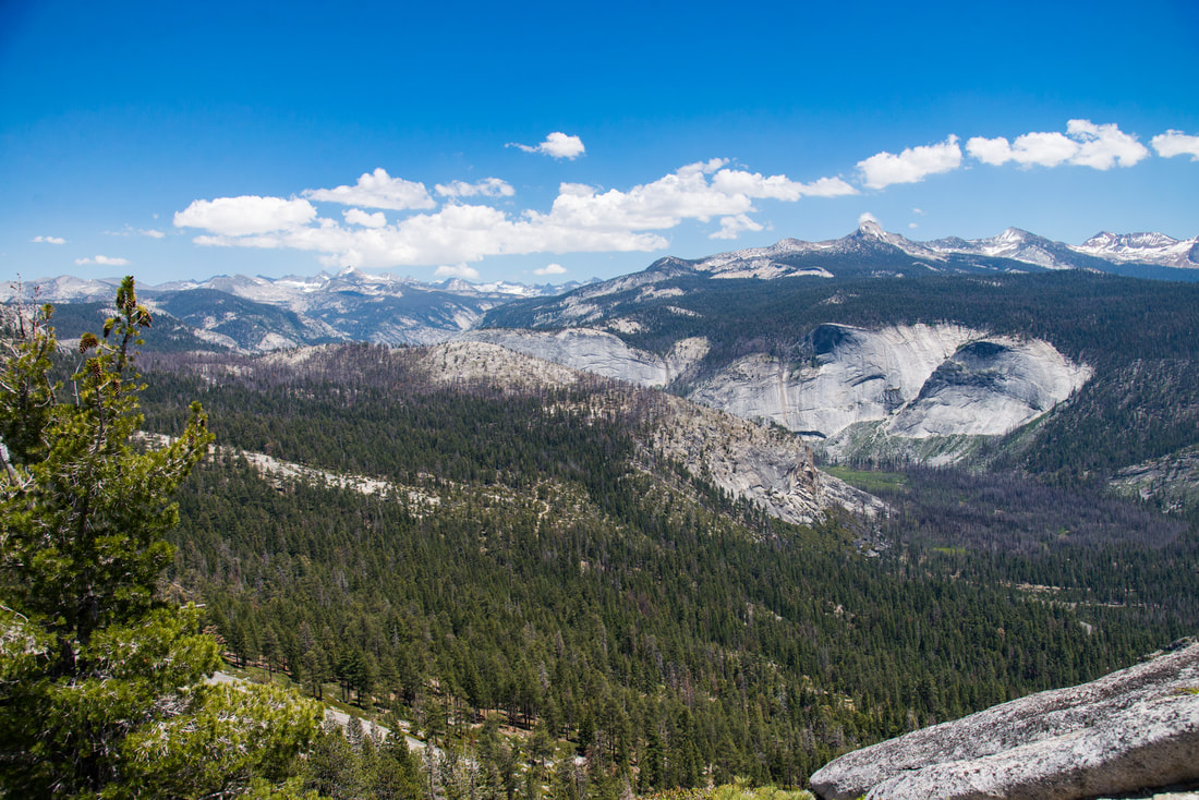
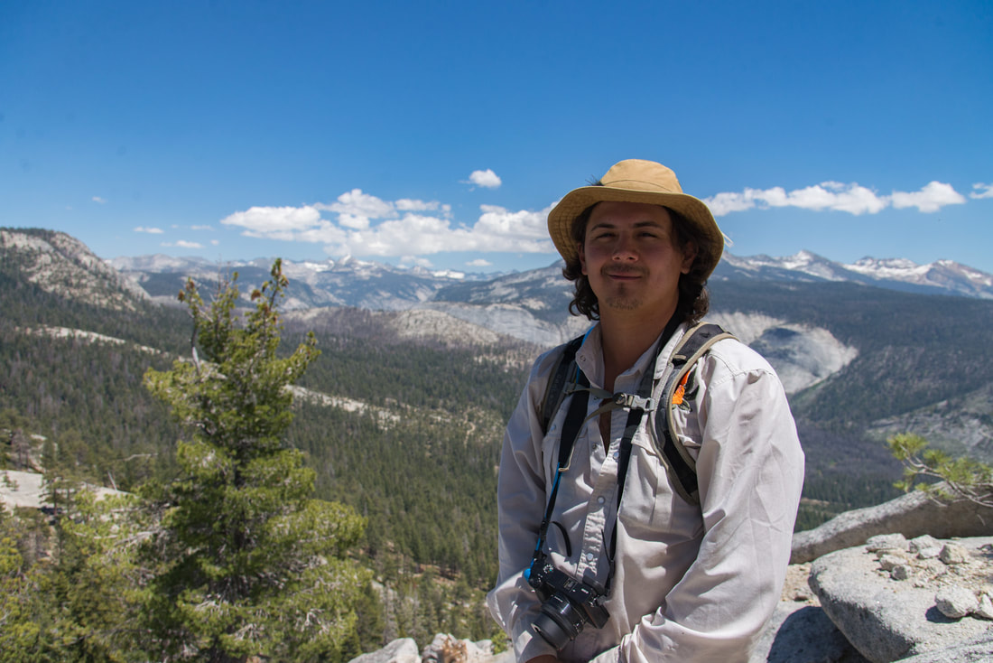
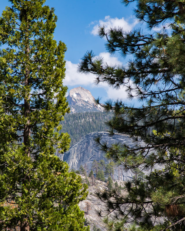
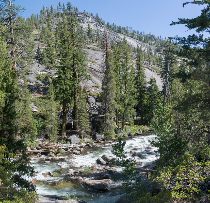
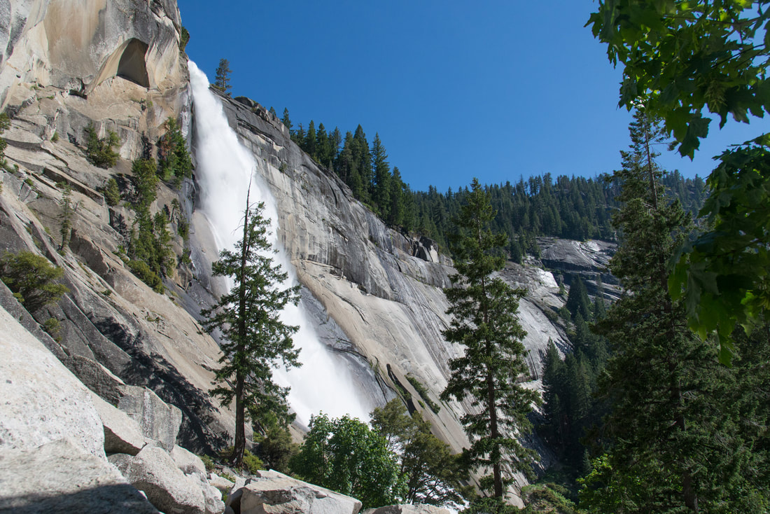
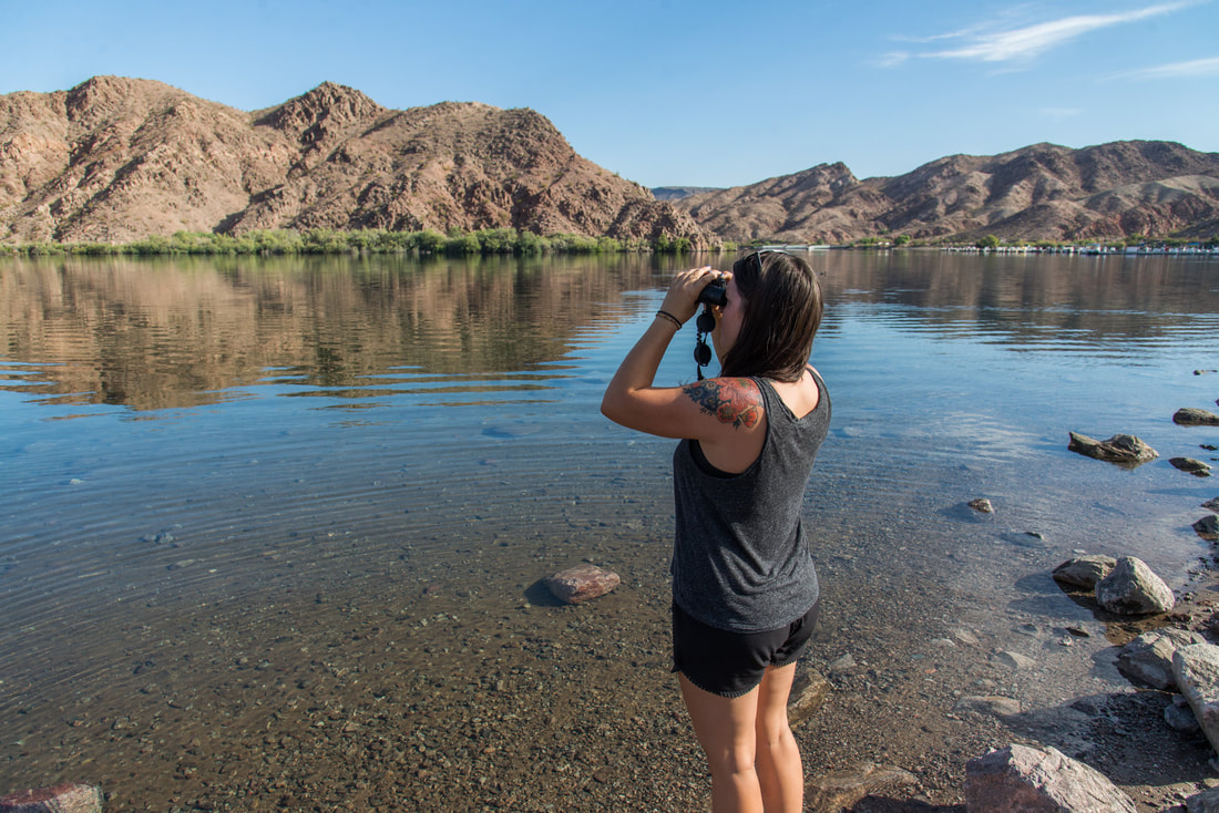
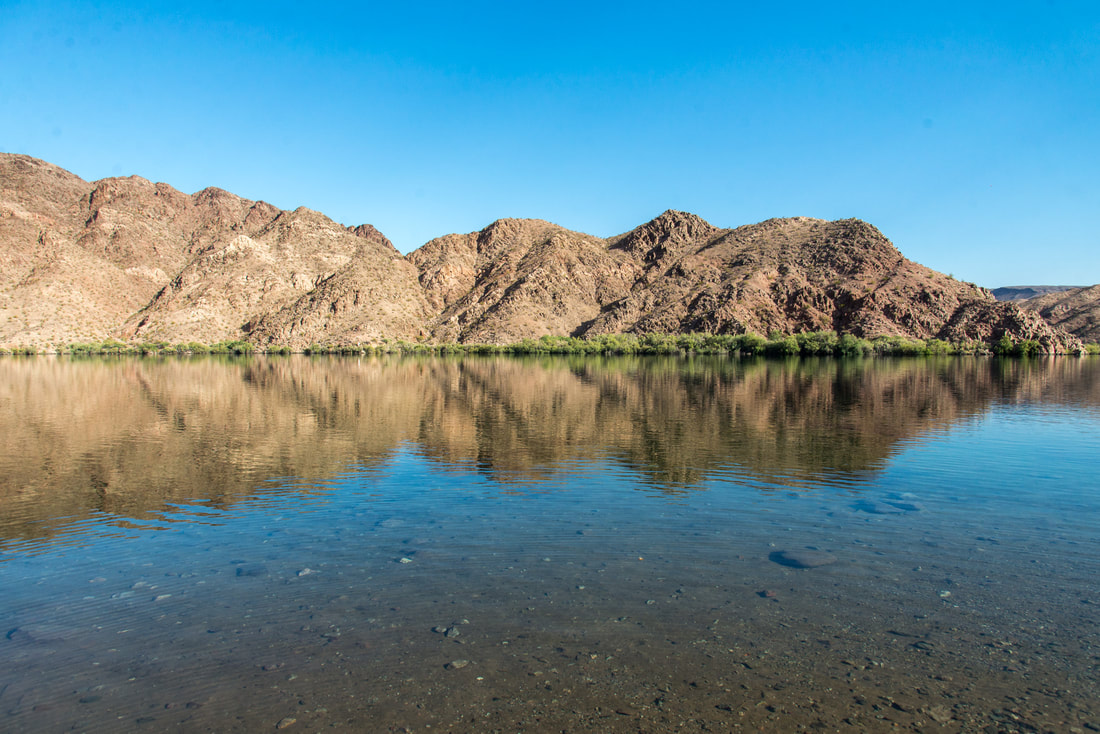
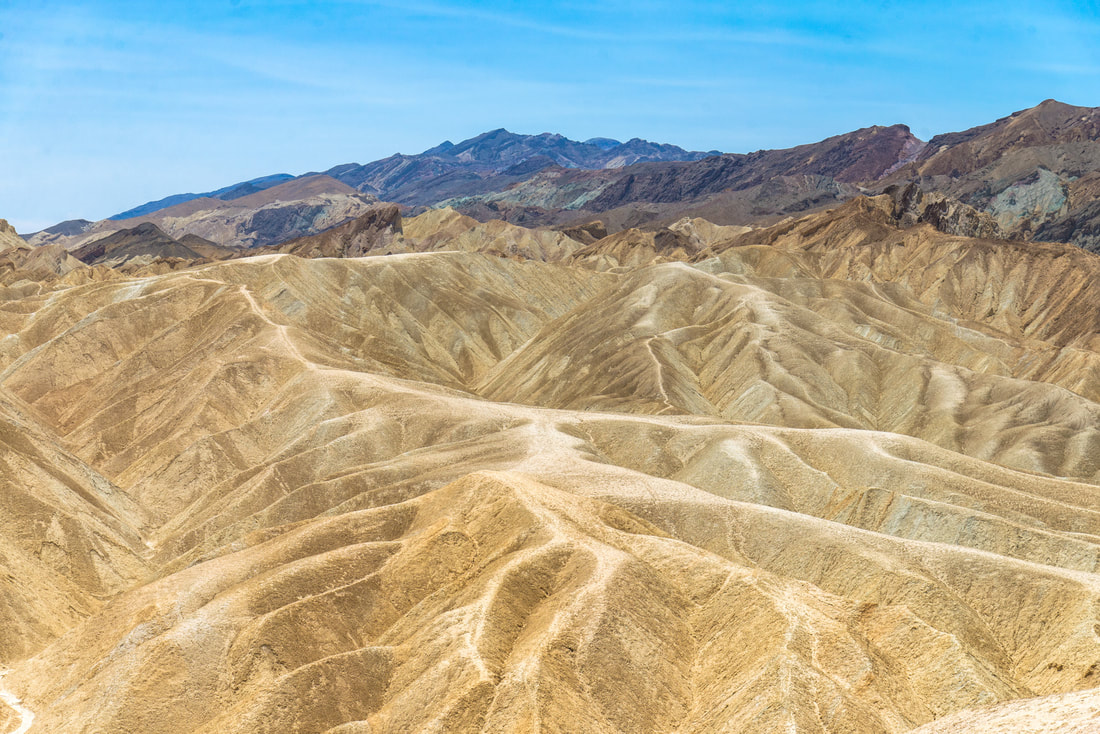
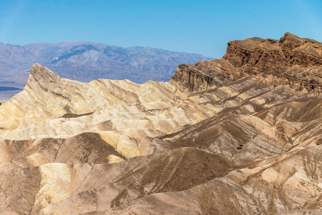
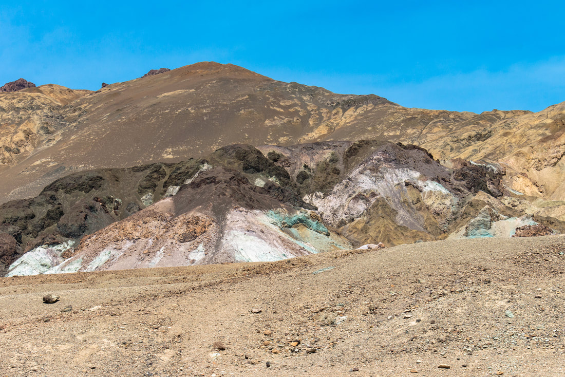
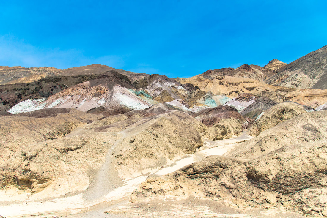
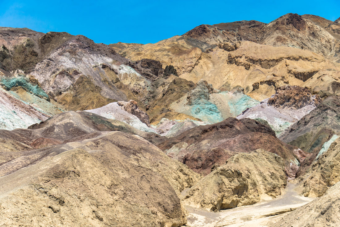
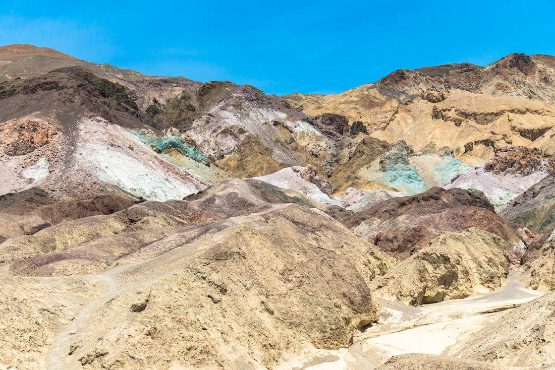
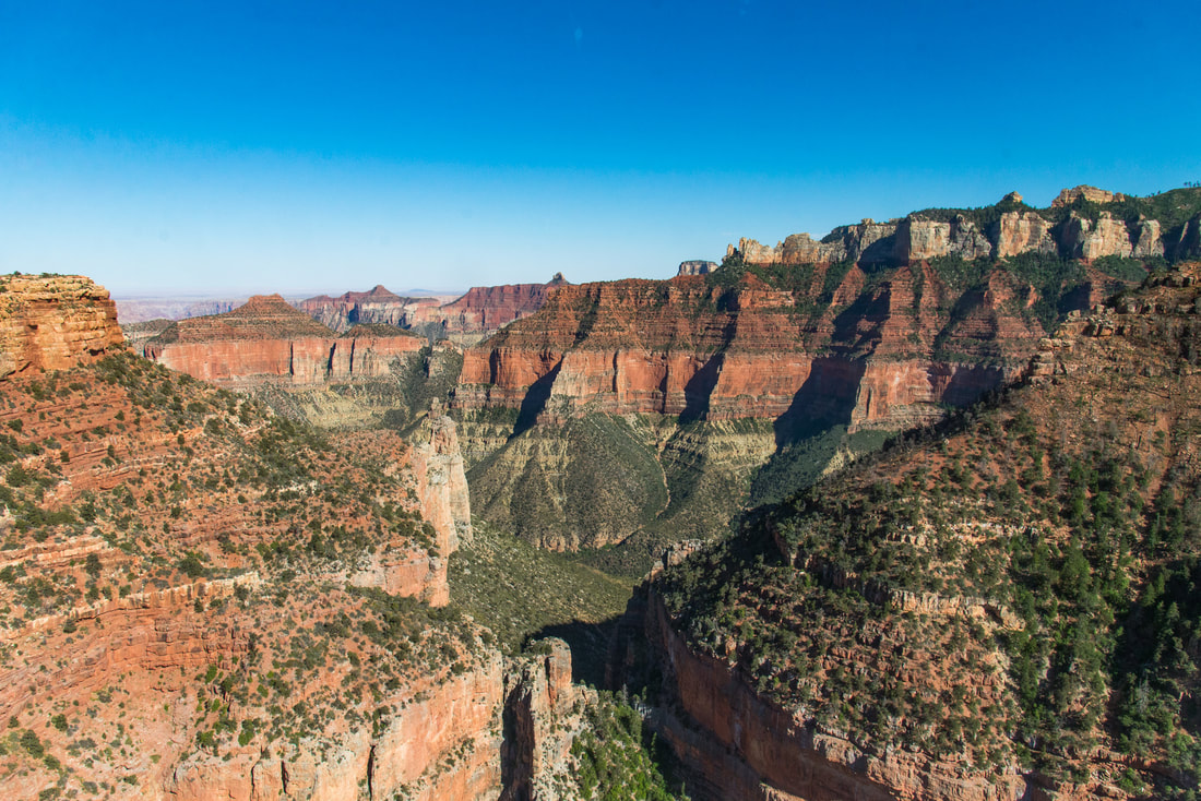
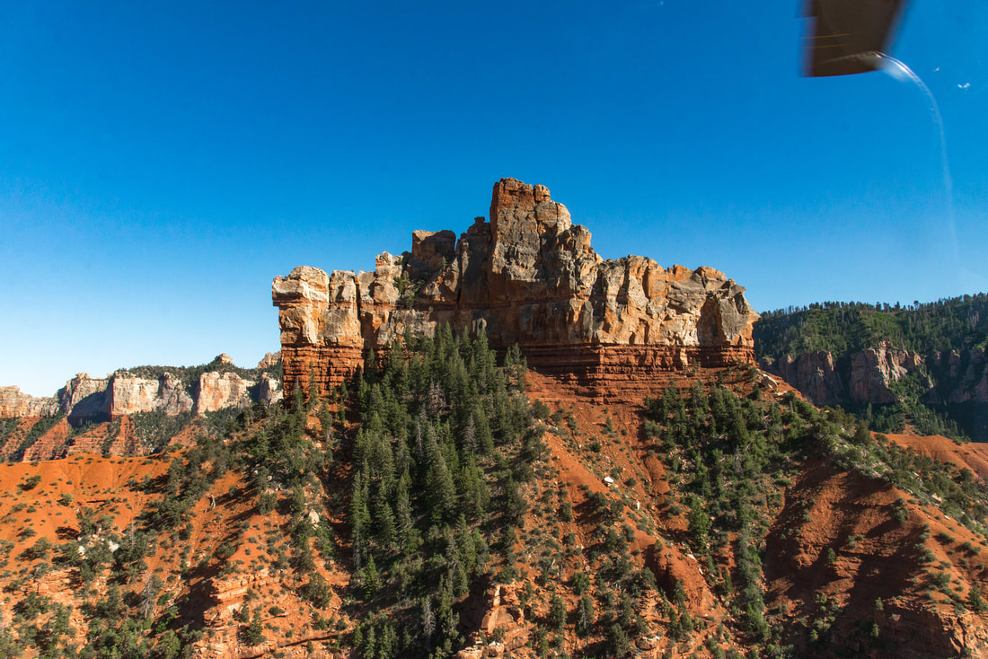
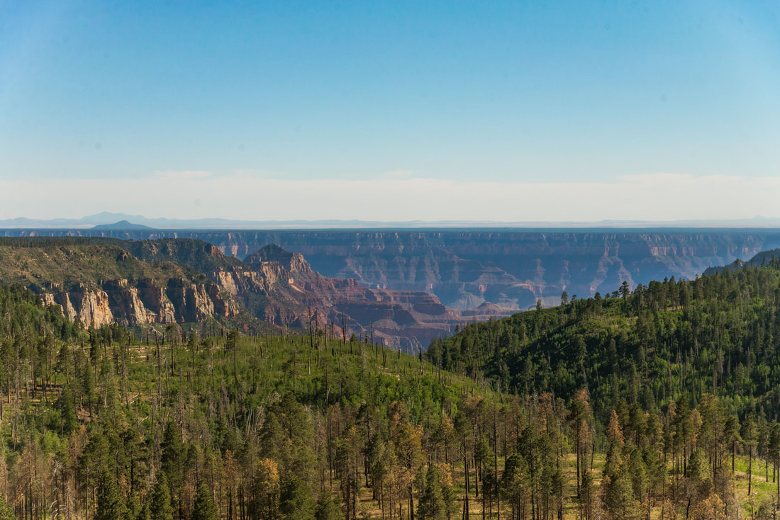
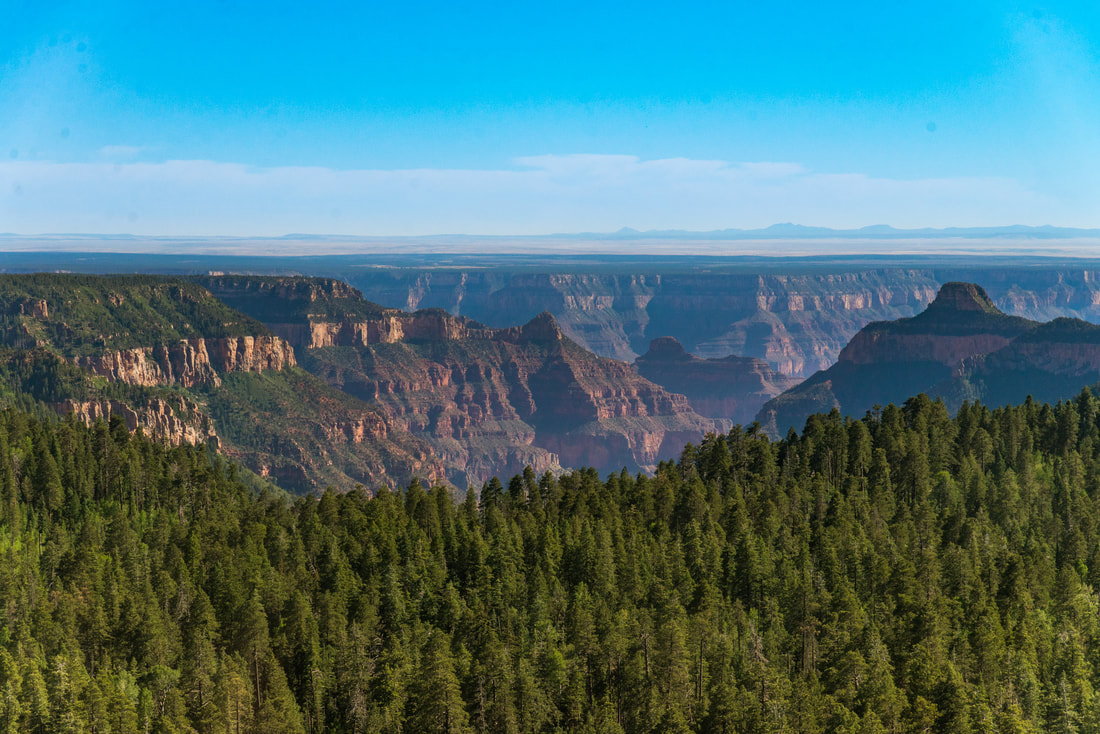
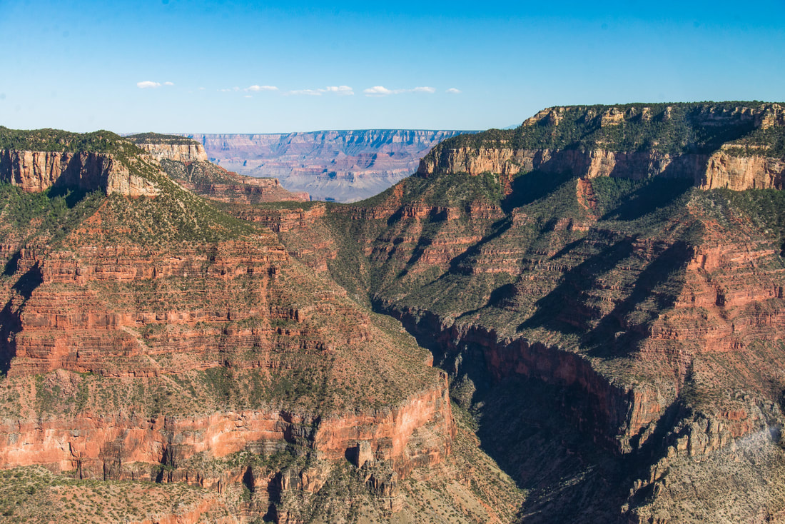
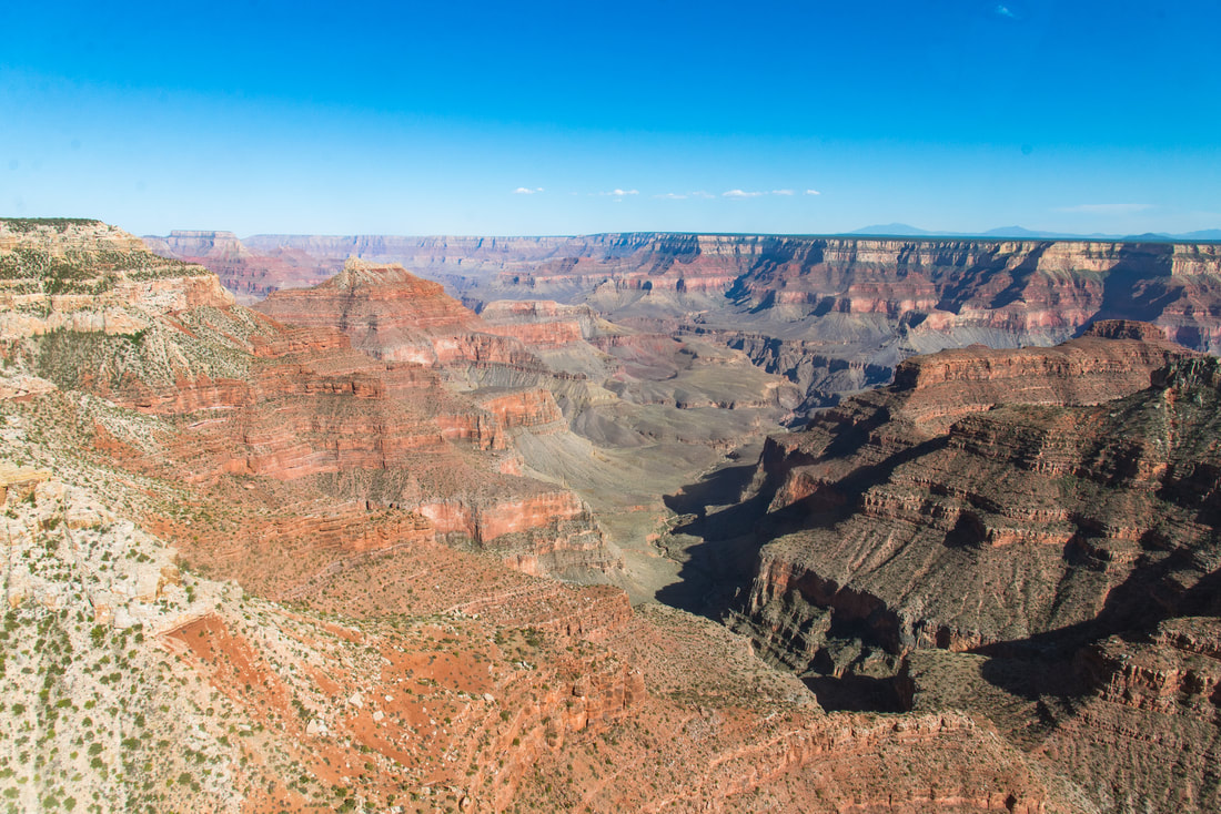
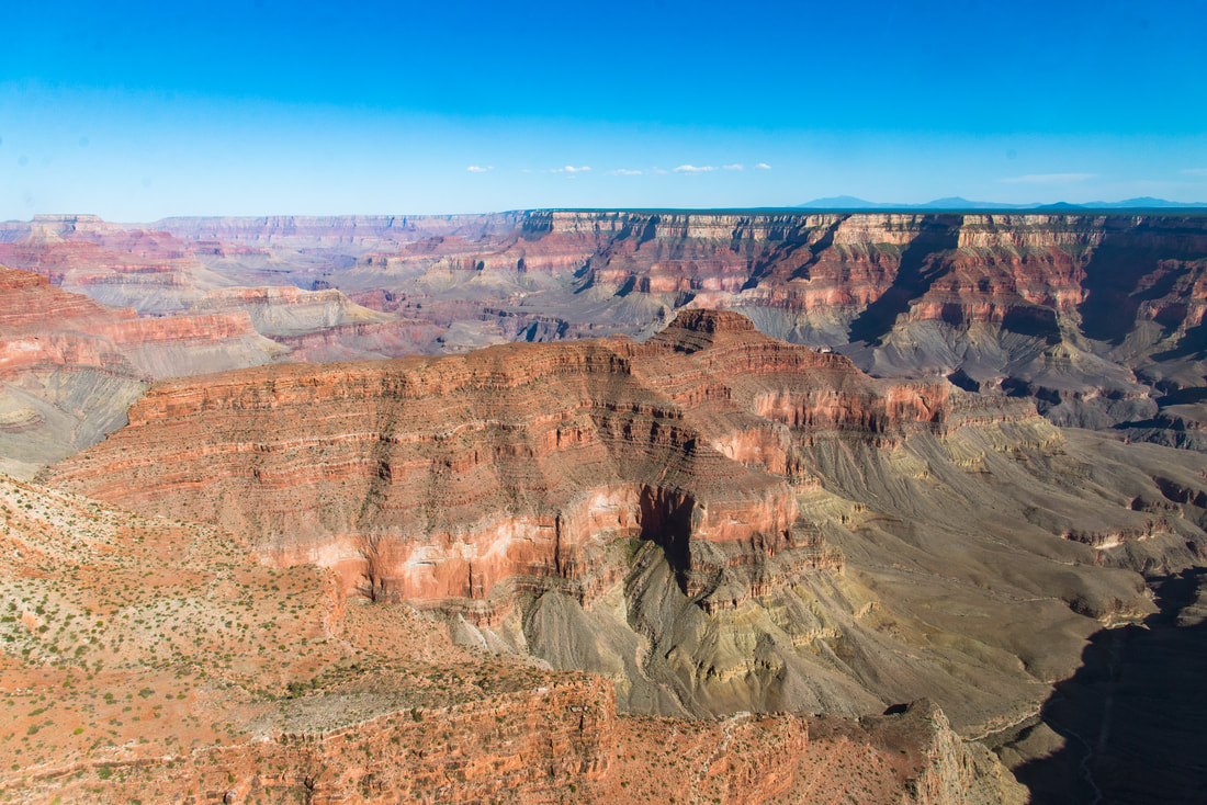
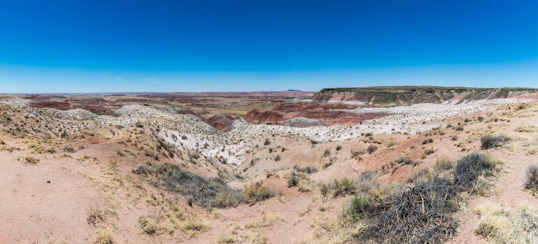
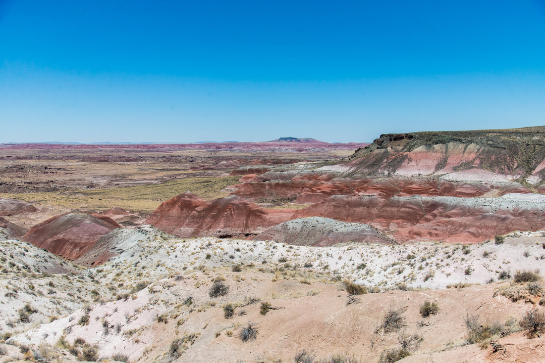
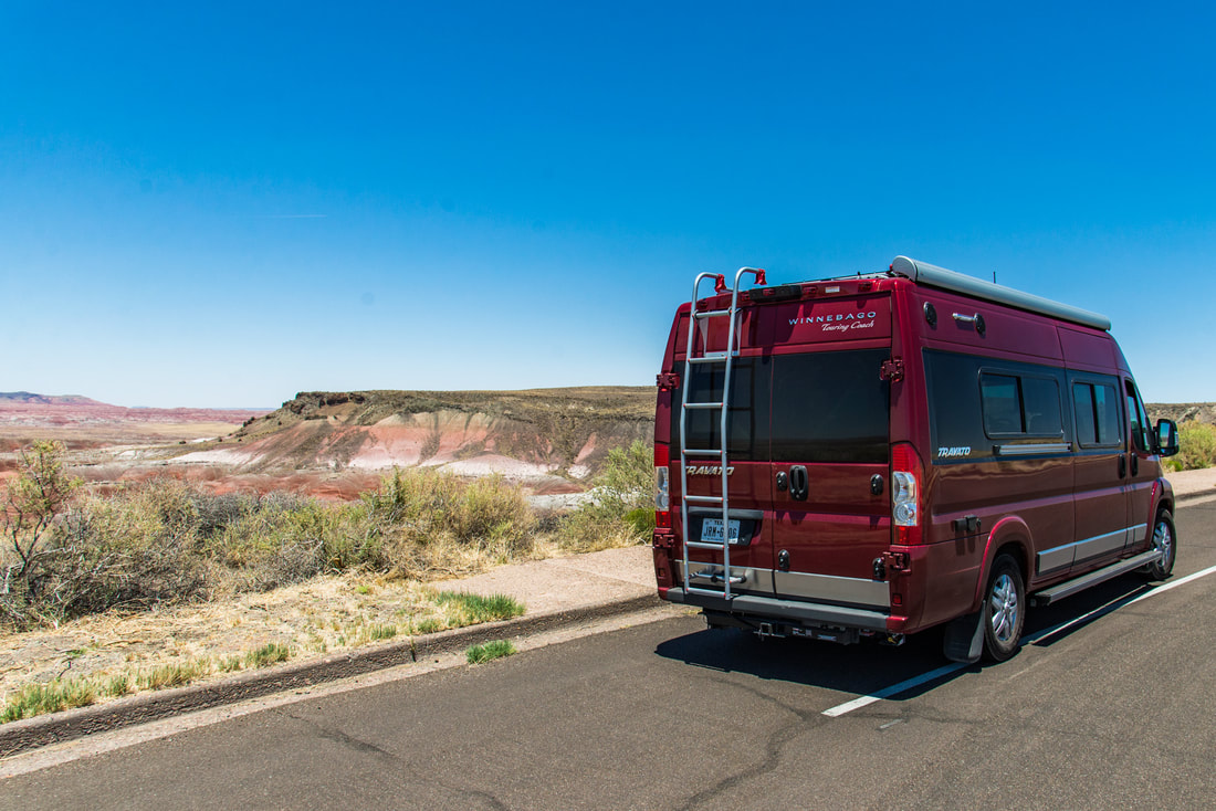
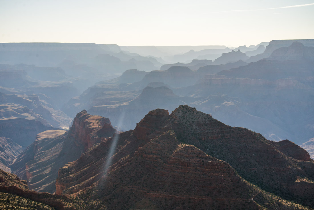
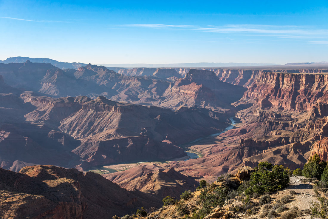
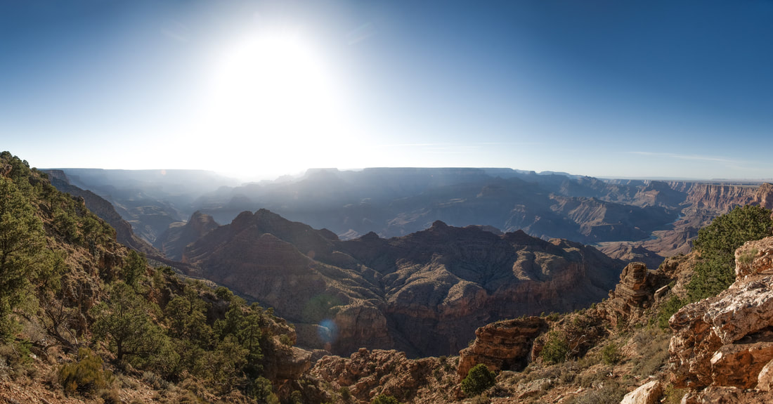
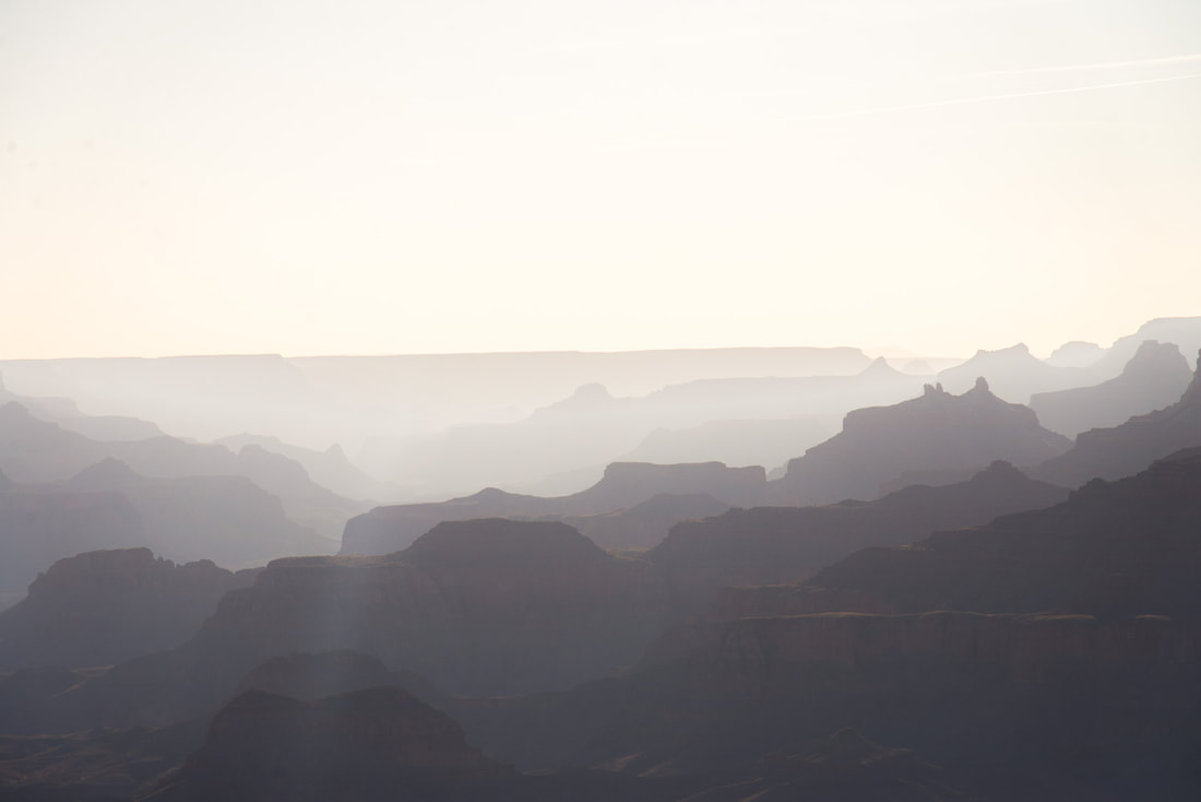
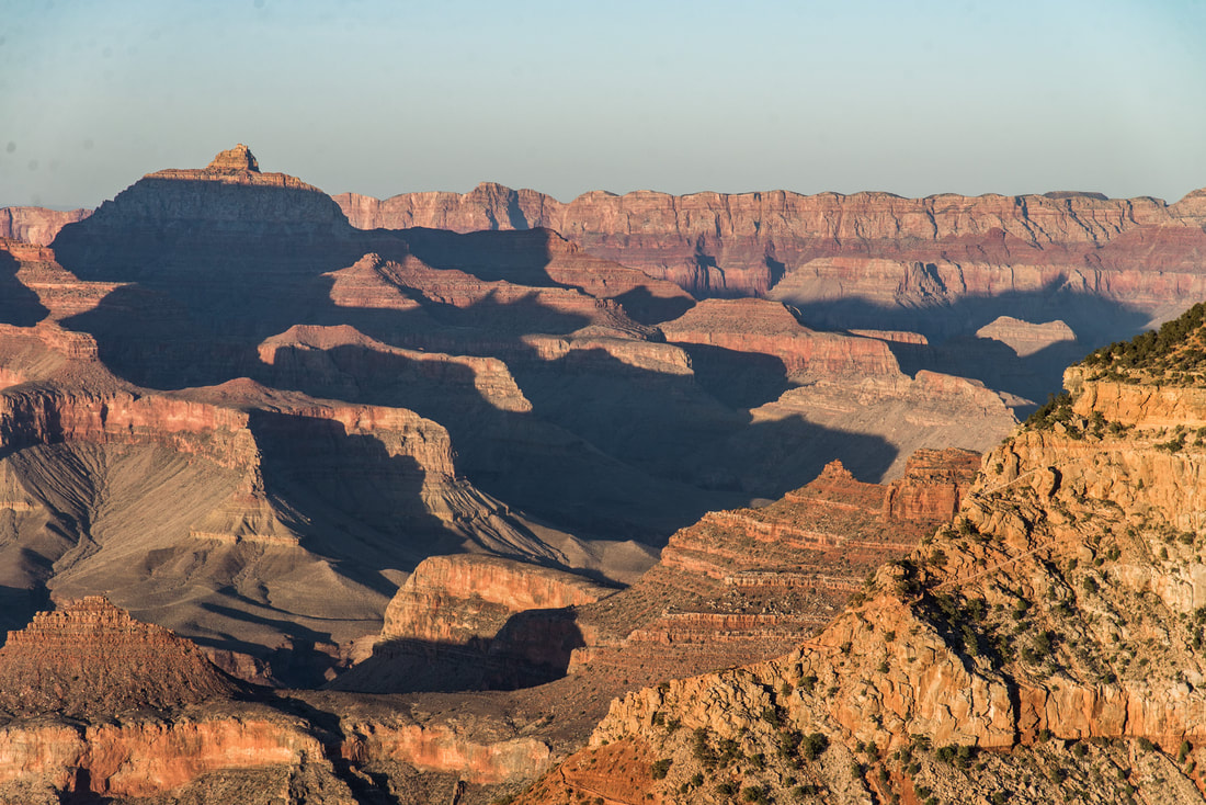
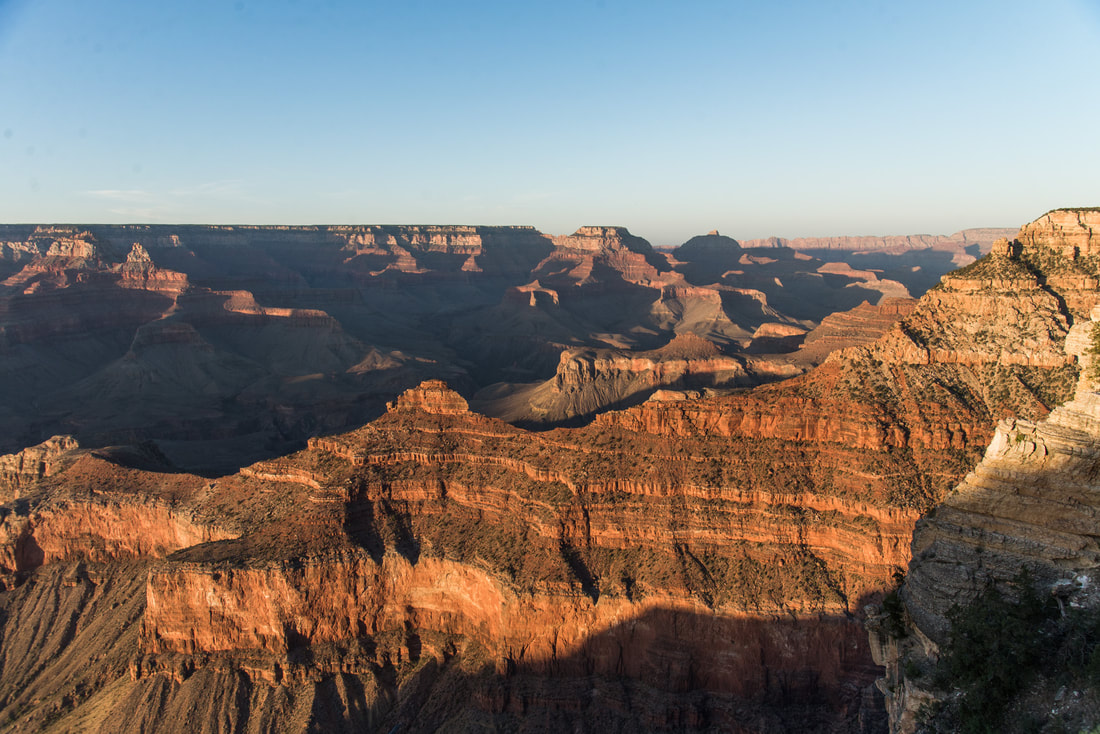
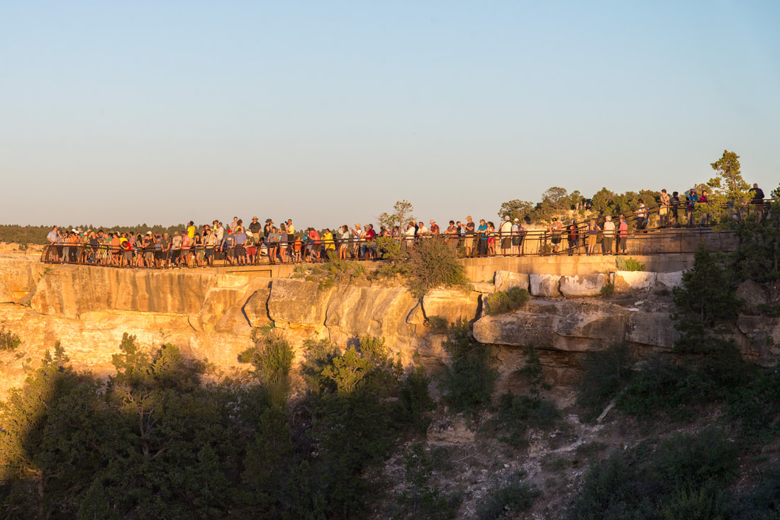
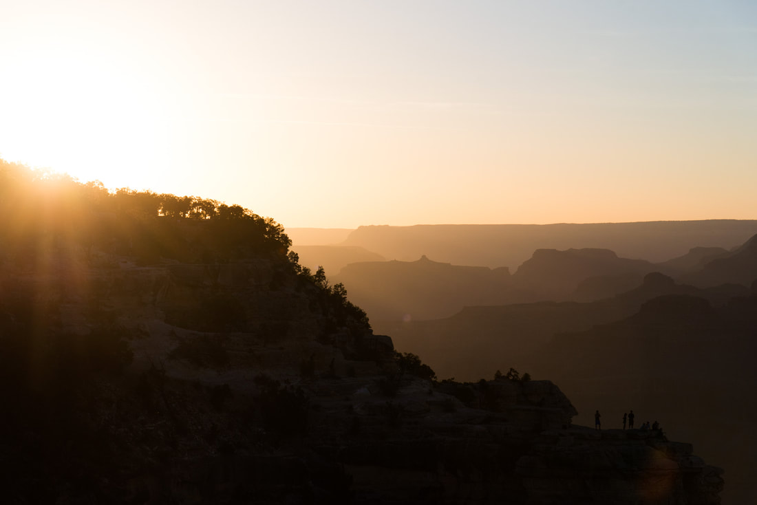
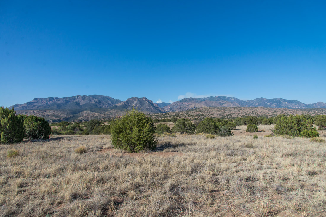
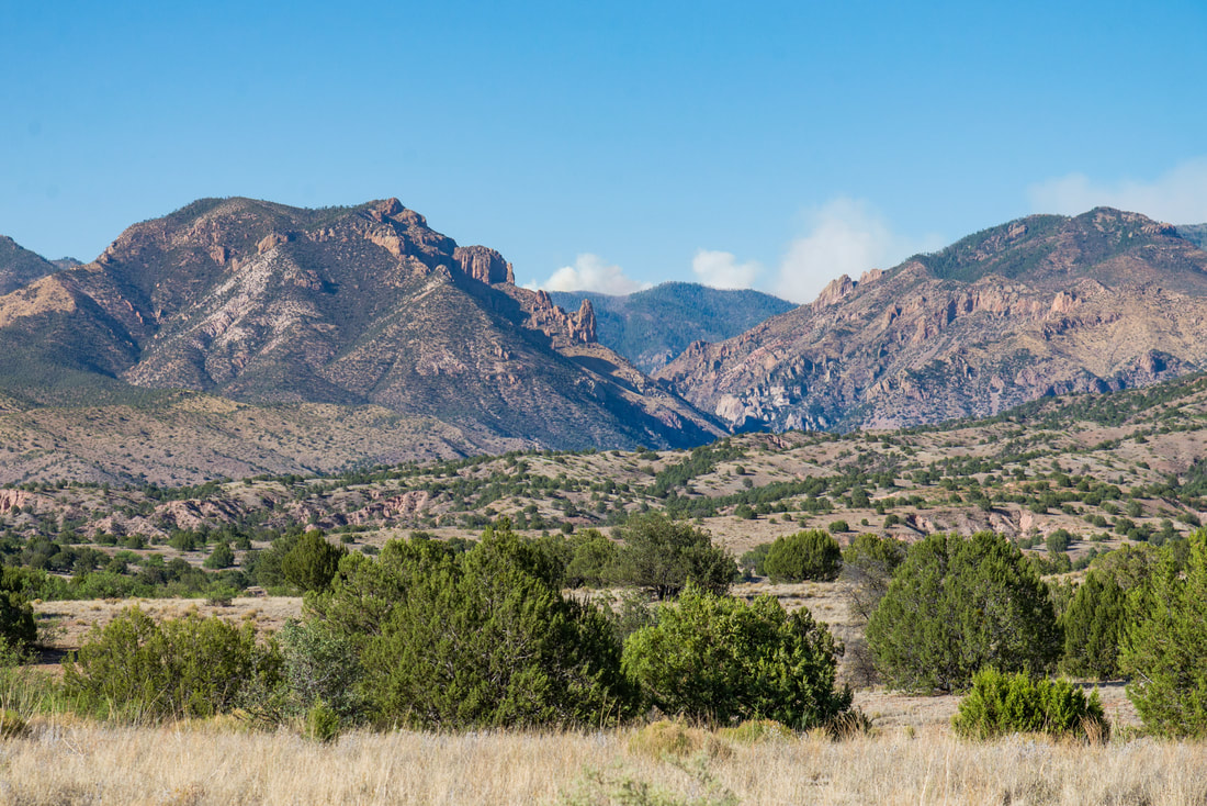
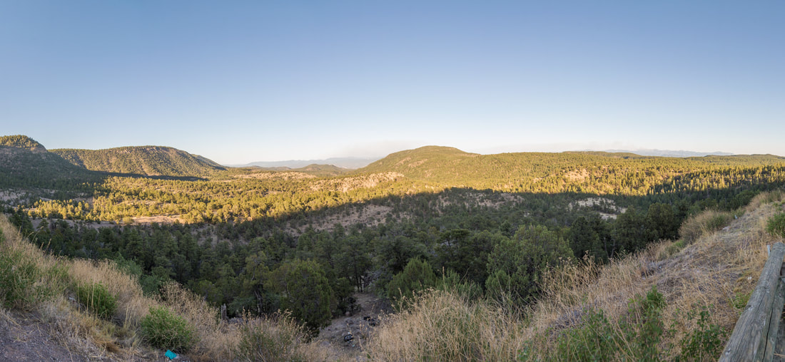
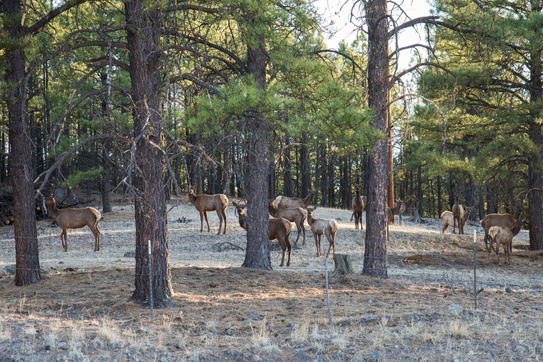
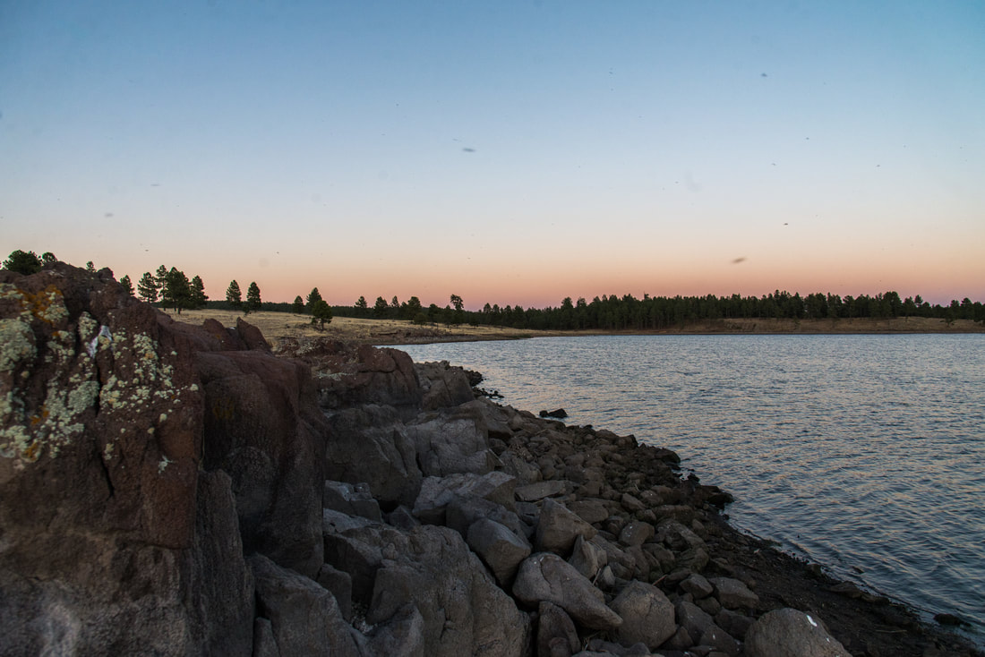
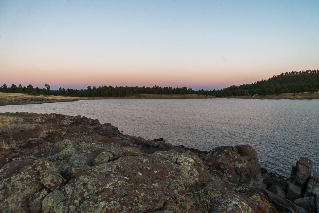
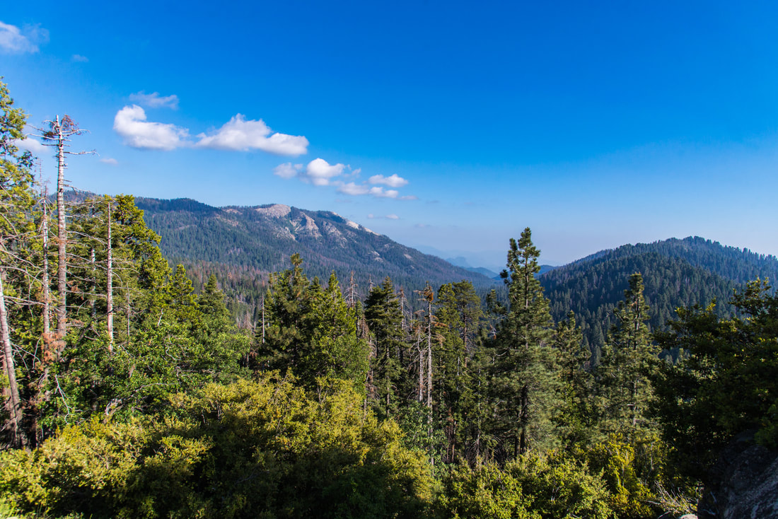
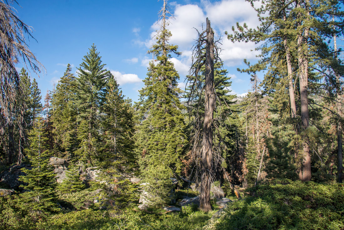
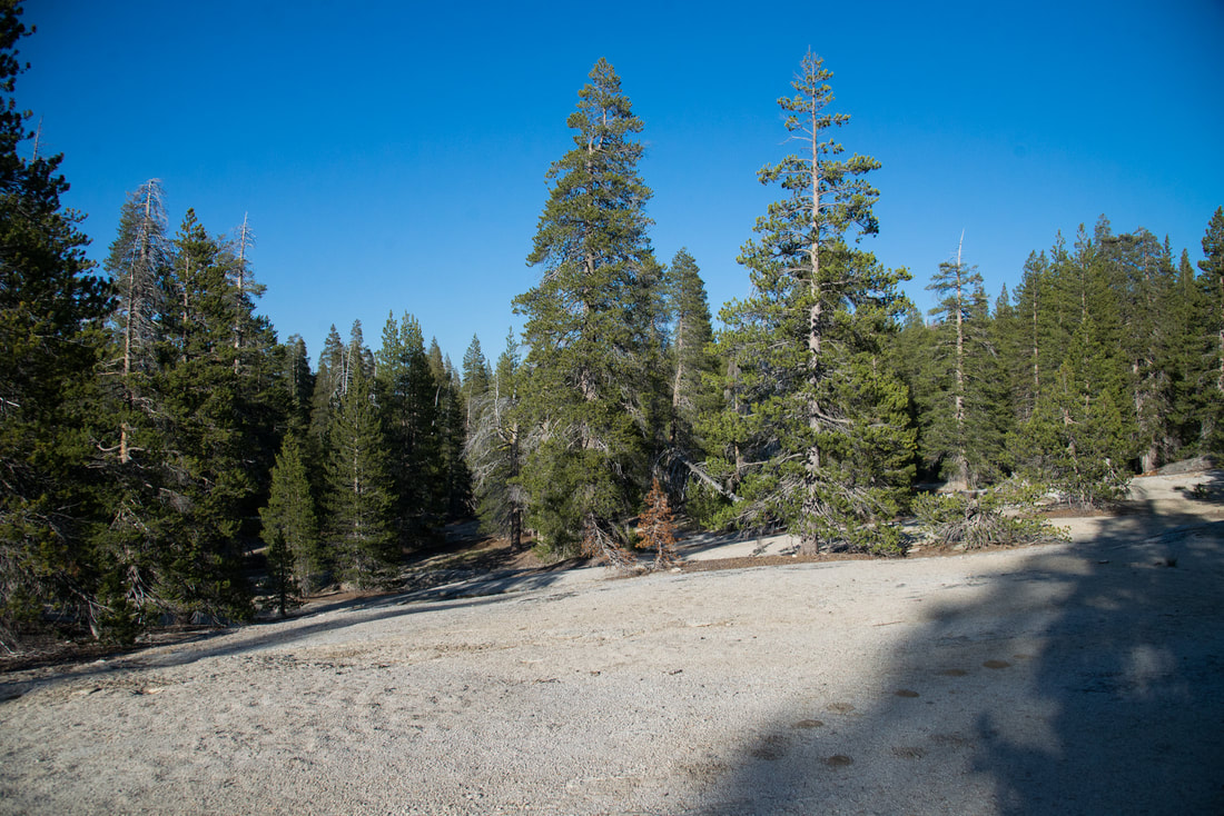
After General Grant we started searching for a place to stay. We got word that there was a National Forest road nearby where camping is much less regulated than in National Parks. On our way to Big Meadow Creek we stopped at a couple overlooks along Generals Highway. I despise the rock stacking in the third image. Always remember to Leave No Trace!!
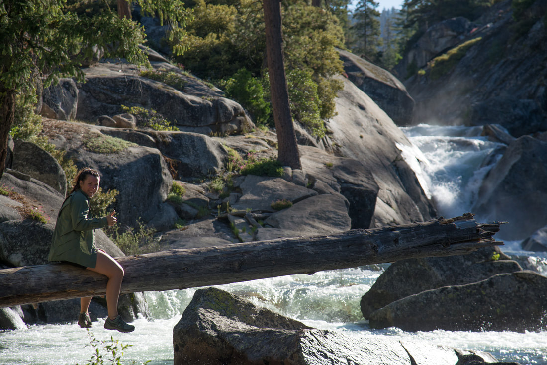
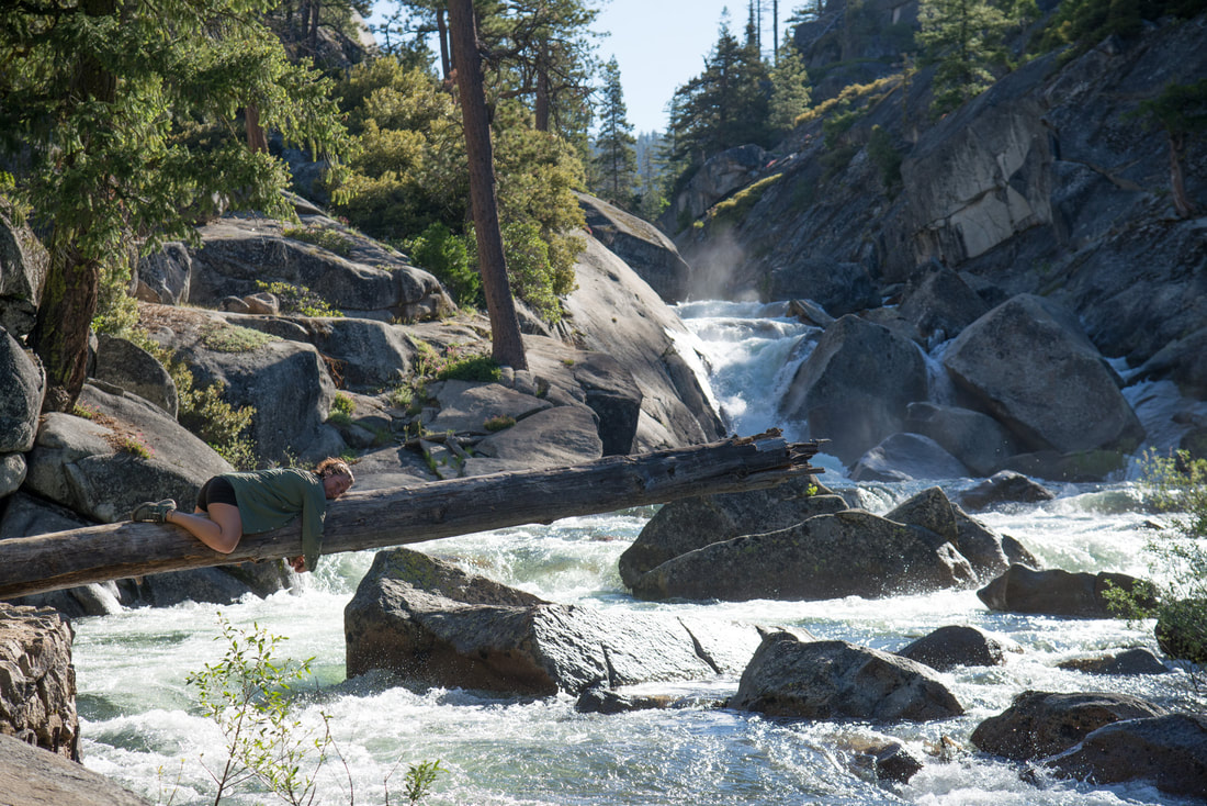
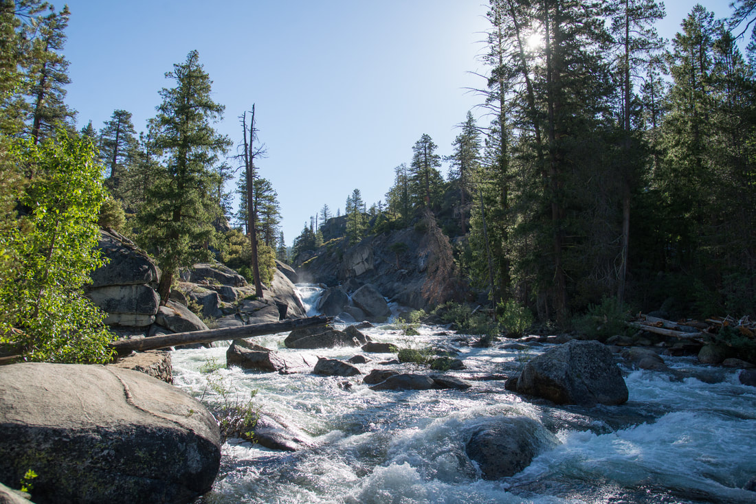
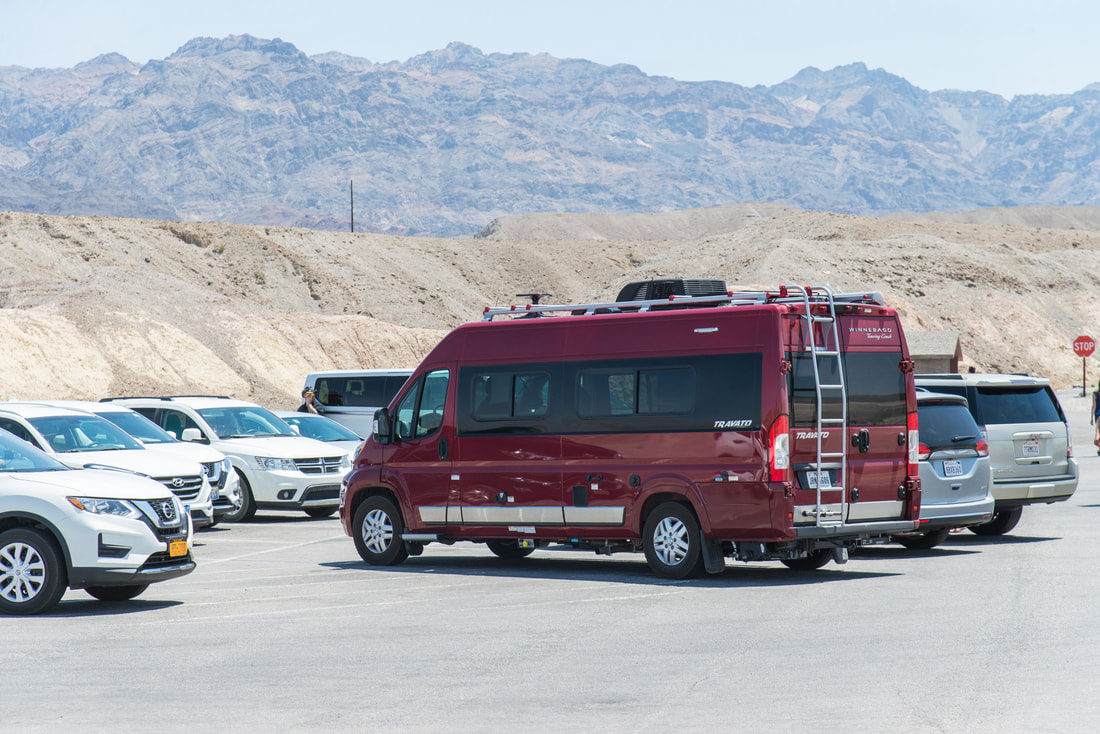
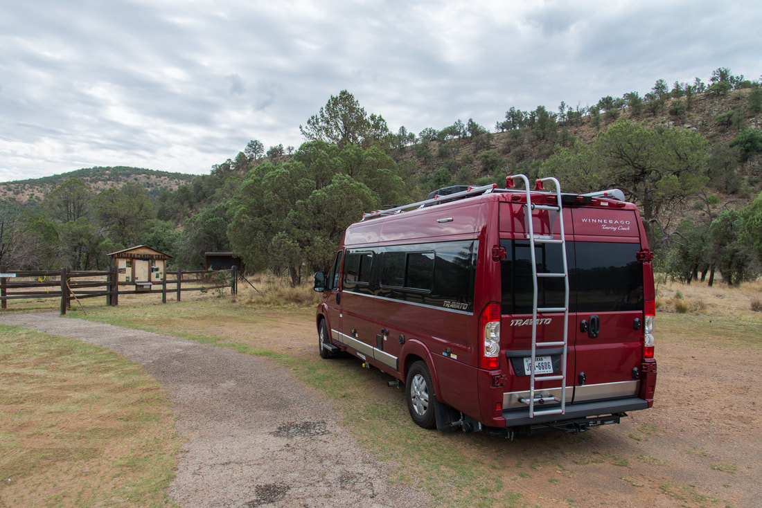
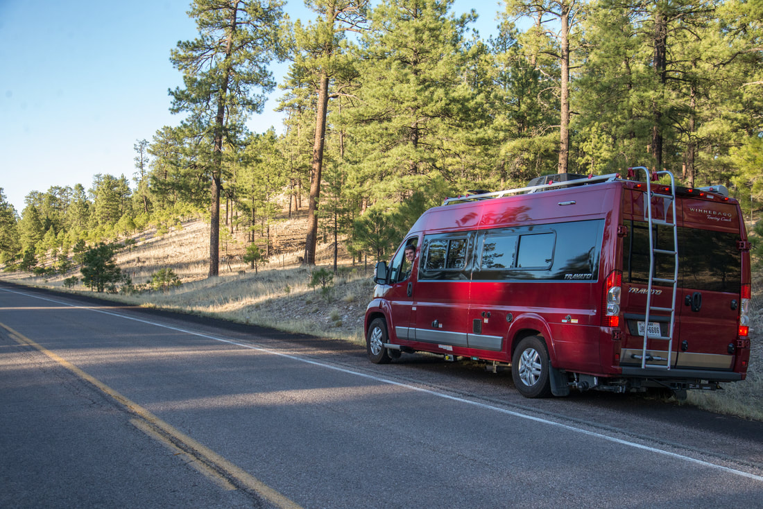
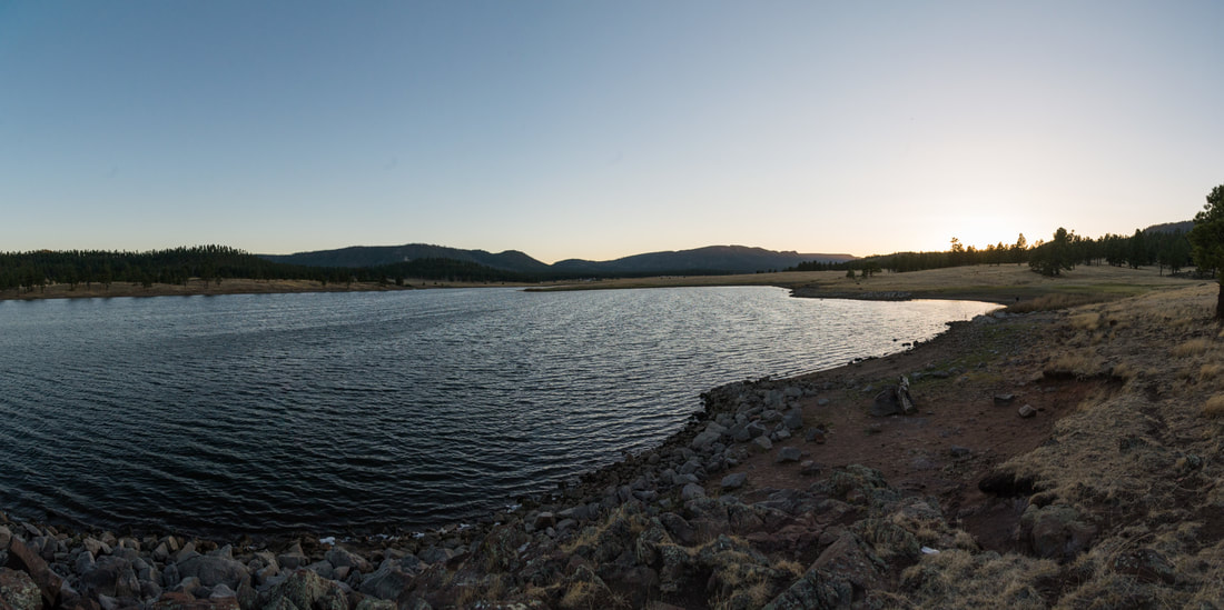
We drove about 5 miles into Forest Rte 14S11 and turned around when it started to get a little scary being in the RV. We passed several camp areas along the way and chose an empty one shortly after we turned around. It was right along the creek and had some room to stretch out.
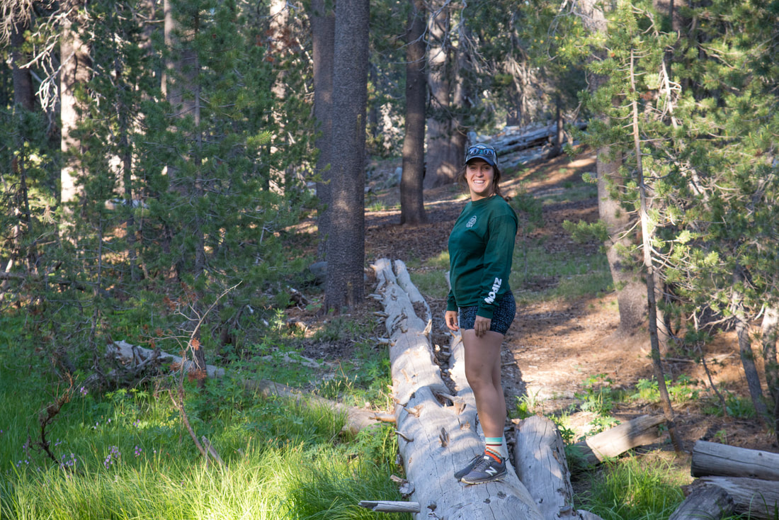
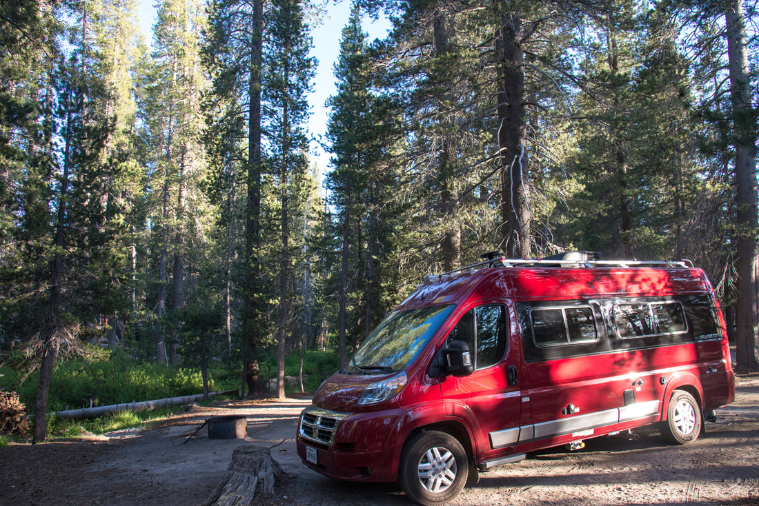
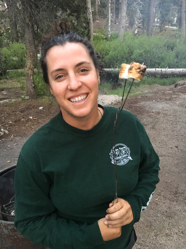
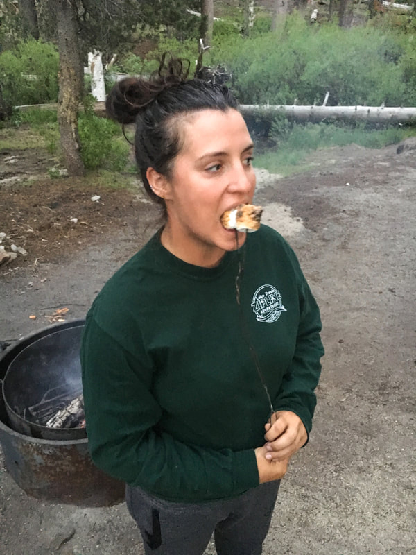
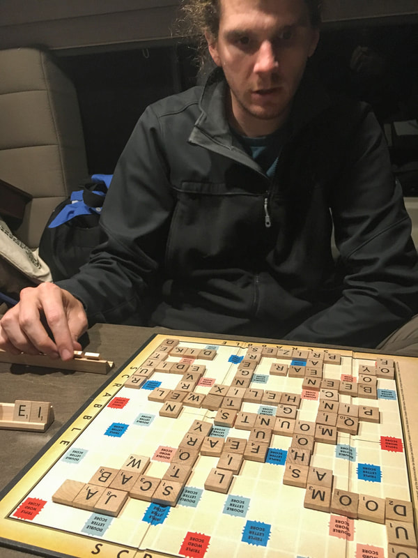
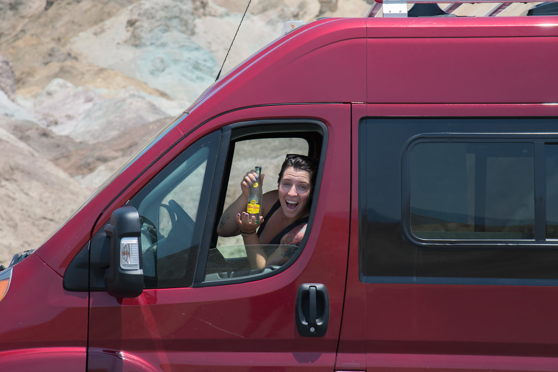
After we settled in to our campsite we made a small fire, had some s'mores, and played some scrabble! Jess kicked my butt real bad. At least twice. It was a pretty good day despite a lot of driving!
0 Comments

Days 7-9 - Johnny and Maddie's Yosemite Wedding

6/15/2018

0 Comments

 
After Half Dome, everything was kind of a blur. We spent three more nights in Yosemite with our big group of friends, old and new. Day 7 was mostly easy-going sightseeing around Yosemite Valley. We hung out on a little beach on the Merced River by the North Pines Campground, dared each other to jump in the frigid water, and later, went for a very short rafting float. Jess and I partnered with Nick and Jessie Dristas and it was super fun! The first photo is Yosemite Falls.
I think the most iconic view of Yosemite Valley is from the "Tunnel View" right when you get out of the tunnel. It has El Capitan on the left and Bridalveil Falls on the right.
Glacier point is another wonderful site, with more room to move around than the tunnel view. It sits above the fork between the Merced River/Little Yosemite Valley on the right and the Tanaya Canyon on the left with Half Dome right in the middle. The first photo is looking back down towards Yosemite Falls.
The wedding took place on the 8th day (June 16th), at the Big Tree Lodge in Wawona. We had a quaint room and enjoyed relaxing at the pool and spending time with everyone before the afternoon ceremony. 
The ceremony was short and beautiful and was followed by a great reception and dance party. Johnny and Maddie are a beautiful couple and we were so happy to be witness to their union in such a beautiful setting.
Picture
Picture
0 Comments

Day 6 - Half Dome

6/14/2018

0 Comments

 
So here we are in Yosemite, our main destination for this trip, for the wedding of our friends Johnny and Maddie. Our first night here was parked outside a cabin in Wawona where Johnny and Maddie's families were staying. But first, let's back up just a minute. Jess knew there was a possibility of hiking Half Dome with Johnny and his brothers, and Johnny had at least one permit with Jess's name on it. We were never sure if everything would come together or whether I'd be able to join. The permitting system is kind of a shit show and Jess and I never really talked at length about plans to do the hike. As we were arriving to Yosemite late in the evening, it started to be clear that I'd be able to join the hike and everything was looking good to go..FIRST THING IN THE MORNING. Jess wasn't sure how I'd respond but I gave her a solid "yes" without hesitation. So back to the cabin in Wawona, we show up after dark and are welcomed by the whole gang but time was limited, everyone needed to prepare for the big day on the trail. We fill up all of our waters, prepare PB&J sandwiches and snacks, pack our bags, and we hit the hay to catch a few hours of sleep.

Wawona is about 45 min. - 1 hr. from the trailhead parking area and we wanted to give ourselves the entire day to hike the 15-18 mile (sources vary) trek so we woke up before dawn and hit the road. 
Picture
Picture
There were 8 of us on the hike. Me, Jess, Johnny, two of his brothers, his soon-to-be brother-in-law and two long-time friends. All 8 of us made it to the trail according to plan and began our hike! I think the first thing we noticed was that it was just up, up, and up. A relentless incline that quickly dictates your sustainable pace. The first half of the hike follows the Merced River and later veers off to wrap around the backside of half-dome.
First we hiked a half mile along the road from the parking lot and crossed the river. I think this is where the trail officially begins. We follow the river upstream and come around a major bend of Sierra Point before crossing the Vernal Falls Bridge (first pictures below). After crossing the bridge there is an option to take a more gradual, but longer route, or climb directly up the "Mist Trail" that goes right in front of Vernal Falls. We chose the latter! It lived up to its name and seems to be perpetually shrouded in mist from the splash of the waterfall. The photos show how steep the trail is and how soggy we were. Grade A booty bustin'!
There is a nice scenic overlook at the top of Vernal Falls. Not pictured is the Emerald Pool that lies above the waterfall and the "Silver Apron" chute that pours into it. A bridge crosses the river at the top of the "Silver Apron" and offers a glimpse of Half Dome behind a narrow canyon. At 2.75 miles you're greeted with some great views of the second waterfall, Nevada Falls, as you climb steep stairs in a scree field.
Once you're above Nevada Falls (which has a toilet!) there is a long flat stretch of trail next to the river with calm pools, I think it's called Little Yosemite Canyon. Johnny was spotting fish he wished he could catch and we all enjoyed a nice break from the steep incline. In the last photo of this section is Steven Guerra, Johnny's brother, and it perfectly characterizes his presence and the way he enjoyed the trail. Steven, very active and fit, was hopping around the trails like a mountain goat while the rest of us were usually catching our breaths. Steven was the only one not in any sort of hiking boot/shoe, he just had his lightweight Nike's with no ankle support of any kind. We also gave Steven a hard time for packing a grand total of two 20 oz water bottles. At one point I watched him suck down his last few drops, crush the bottle, and throw it in his bag. I asked.. "Steven, do you have any more water?" and he shrugged it off and assured me he was fine. Well I'll tell you what. That little energizer bunny didn't slow down the entire day and sure made do with what he had. By the end of it all, he tacked on more miles than anyone else simply by repeatedly going ahead and coming back after being tired of waiting. Steven had no problem, but don't be like Steven, bring some water and wear your boots, folks!
This whole hike so far is basically along the John Muir trail (except for the Mist Trail shortcut) and shortly after we veer away from the Merced River, and about 5.75 miles in, we reach the Half Dome Trail spur and the Ranger checkpoint. We were all legal and began the final leg of the hike. At 6.5 miles you come up over the edge of a ridge and a treated to a great view of Tenaya Canyon (home of the Mirror Lake) and Half Dome. There is a nice flat stretch after this point that leads up to the base of Sub Dome, the precursor to Half Dome. Notice the photo with the zig-zag stairs of Sub Dome in the foreground and "the cables" strung up the side of Half Dome.
Picture
Sub Dome was a test of our commitment to reaching the top of Half Dome. It was very steep, and quite exposed. Buddy is photographed giving me signs of encouragement. We had to stop for a breather and I think the picture says a lot. We're looking pretty beat and even Steven needed some of Jess's water. 6 of us eventually made it to the top of Sub Dome and were looking at the cables right in front of us. None of us were psyched to attempt it. As we sat and watched the folks on the cables it looked like they were all at a stand still, perhaps a traffic jam. It's a ridiculous system of steel posts loosely fitted into a drilled holes, wooden boards strapped to each pair of poles, and a pair cables running the entire length of the climb. There were dozens of pairs of community gloves piled up at the bottom and and everyone moving very slowly. There are people going up and down in single file lines so you're at the mercy of the people around you. Some folks wore climbing harnesses and tethered in to every section of cable between poles.
I felt pretty uninterested in climbing the cables and dealing with everything I described, and others seemed to feel the same way as me. We sat for a while, contemplated our decisions. We asked every group that had just come down from the cables how it was. No one gave us an encouraging review. But then there was that one hefty dude, and he brushed the whole thing off. I think that empowered us. If HE could do it, then surely WE could do it. And slowly, once one or two of us found the courage, the others around us gravitated towards the idea. I think David and I were the last ones to come around. So the 6 of us did it.
I didn't enjoy any second of it. Once I was on top I couldn't stop thinking about having to climb down the cables. The anxiety really got to me. I hardly took any photos so enjoy these photos by Jess!
Picture
I didn't start taking photos again until I was back down onto Sub Dome. I was just so sick to my stomach, which is a shame! Also Jess was standing way to close to the edge for my comfort. Aye aye aye..
Now it was time to hike back after at least 9 hours on the trail. Before going too far, we found a cool little spring and refilled some water and took an extended snack break on some big trees. Also, for the record, my outfit was running shorts with a UV blocking field shirt and my Tilley hat. It was definitely a legs-for-days kind of thing. No shame.
I thought we were going to sail down the mountain but constantly "putting on the brakes" took a lot of energy and wore out a whole new set of muscles. The sun beat down hard in the afternoon and everything and everyone around me started to become a blur. We passed people doing short hikes to Vernal falls and I felt like I was in my own world. I had been through the gauntlet and they were just having a pleasant stroll.
Jess and I ended up being the last ones off the trail. Our bodies were telling us that enough is enough and every step ached. And yet, we stuck with each other all the way down, through the thick and thin, and we made it back. Jess's phone clocked 20.8 miles, which is surely subject to some margin of error, but we know one thing for sure, we felt like we hiked that far. We were proud of ourselves and felt so blessed to embark on such an exciting adventure with such great people.
Lastly, here are photos from the man, Johnny G, himself. I didn't look at his photos until I finished writing the story I wanted to tell and I love how perfectly the emotions he captured fits into everything I remembered.
Thanks for having me, Johnny.
0 Comments

Day 5 - Death Valley National Park

6/13/2018

0 Comments

 
After our helicopter tour in the Grand Canyon we drove for a few hours towards the Hoover dam and stayed at the Willow Springs campground on the Colorado River, about 12 miles below the dam. During our drive, we witnessed an amazing fireball meteor! We submitted our observation to the American Meteor Society along with 94 other witnesses. A couple cameras caught the event as well.
The crowd sourced details can be viewed here: https://fireball.amsmeteors.org/members/imo_view/event/2018/2009
This route shows about 24 hours of travel. Leaving the Grand Canyon, camping below the hoover dam, making a stop at Death Valley National Park, and then heading into Yosemite National Park by the evening.
Picture
The weather (heat) at Willow Beach was awful, it was night time but only got down to 95°F or something ridiculous. We were thankful for the RV electric hookups because the AC was crucial! It was still hot when we got up in the morning but we took a brief look at the scenic river. Looks pretty good in the photos!
Our next quick stop was at the Hoover Dam! As sad as it is to see the river and environment severely strangled and manipulated it's still breathtaking and inspiring to witness the engineering achievements of the post-depression public works programs.
First stop at Death Valley NP was Zabriskie Point. I won't pretend to know the geology or history of this area because we didn't spend much time at each stop but it is a really cool landscape to see.
117°F is so hot. We checked in at the visitor center and then made our way to the Badwater Basin, the lowest point in North America at 282 Ft. below sea level. Everywhere in the park basically felt like someone blasting a giant hair dryer at you. It's like you can feel all of the moisture evaporate from your body. I guess this is where we can go to practice and prepare for a global warming climate catastrophe. With all that heat, water is that last thing you're expecting to see at the lowest point in the basin but sure enough it's there. This planet is wild.
We turned around after checking out the Badwater Basin and swung through the Artist's Pallet loop on the way back. There were so many beautiful colors. It's amazing how beautiful, yet barren, Death Valley is.
Death Valley really solidified its name on the way out. We didn't know what lied ahead of us on our route to leave Death Valley to the West (we came in on the East). Thankfully the Travato RV was still as new as can be because the main 17 mile ascent out of the valley was incredibly demanding on the vehicle. It was so consistently sloped that it had an illusion that we were driving on a flat road. The engine and RPM said otherwise. I drove slow but the combination of the heat and slope made for a brutal slog. It made me wonder what would happen if we broke down and became stranded in such an unforgiving environment. Fortunately those fears never came to fruition and we survived Death Valley.
From there we made it to the Owens Valley, the infamous region of the California Water Wars, and drove into Yosemite National Park on Tioga Rd in the evening. We captured a late afternoon view of Half Dome from Olmstead Point.
Picture
Picture
0 Comments

Day 4 - Grand Canyon Helicopter Tour

6/12/2018

0 Comments

 
At some point on this trip Jess and I decided that we were interested in a helicopter tour of the grand canyon. I had never been in a helicopter before but I couldn't think of a better place to try it out, knowing how exceptionally large the grand canyon is. We had a slow start to our day, meandered around the Grand Canyon Village, freshened up with some quarter showers and stocking up on some rations at the grocery store (which had everything you could imagine). We took a short walk to a couple overlooks in the immediate area around the Grand Canyon Village and then made our way to the helicopter tour company.
Helicopter route, counter-clockwise.
Picture
The tour starts at the airport south of Grand Canyon Village and heads northeast to the canyon rim. As we flew over the upland forest the pilot played march of the valkyries and had it timed to climax as we came over the crest of the rim and the massive canyon opens up below you. It was entertaining but definitely a little silly. In one of the photos you can see the desert view tower to get a little sense of scale. It's such a tiny speck!
I loved these views flying directly over the Colorado River with the contrast of the emerald green water and the barren landscape. We saw a handful of big rafts floating the river but from above they were super tiny.
We flew up to the confluence of Little Colorado River/Canyon and the water had a very obvious white/light-blue color which was interesting to see mix with the Colorado River. 
From there we headed slightly northwest and observed some cool geologic features which I can't remember much about. There was a neat spine that ran for miles and spire that looked like a battle ship.
We flew up on top of the North Rim and were instantly greeted with vast forest land.
I'm not exactly sure which canyon we flew out of to leave the North Rim but I was able to identify parts of the Hermit Trail in my photos as crossed back over the Colorado River and up and over the south rim to head back to the airport.
Overall the helicopter tour was an amazing experience. I'm really happy with how many photos I was able to capture, even with some window glare here and there. It really helps relive the experience.
0 Comments

Day 3 - Petrified Forest and Grand Canyon National Parks

6/11/2018

0 Comments

 
Day 3 covered a lot of ground, leaving the Luna Lake Campground on the New Mexico/Arizona border, heading up through the Petrified Forest National Park, and then crossing over towards Flagstaff before approaching the Grand Canyon.
Picture
Jess and I did a little bit of birding on our way out from the campground and spotted this nice Cinnamon teal in a little pond.
The Petrified Forest National Park is mainly a driving tour. We didn't have a bounty of time to spare but we made a quick stop at the Crystal Forest which is a paved trail that winds up and down some desert hills scattered with countless petrified trees and colorful collared lizards perched throughout the trail. We also stopped at the small overlook of the most famous feature of the park, the Agate Bridge, which is a petrified tree spanning an eroded drainage. The fossil has been preserved in its place with a concrete beam underneath. All of these fossils were trees that had fallen into an ancient river and were quickly covered by mud or sediment that allowed them to be preserved rather than rot. Over millions of years they fossilized and then were exposed by erosion. Most of the trees are an extinct conifer.
Nizhoni Point was the last stop with a nice overlook of the "Painted Desert".
After swinging through Flagstaff and resupplying our snacks we headed north and had our intro to the Grand Canyon with the Little Colorado River overlook on Navajo Tribal land. From here, the Little Colorado River canyon gradually deepens as it runs northwest until reaching the Colorado River. The real adventure at this spot was trying to leave the gravel parking area without bottoming out in the RV. I was sweating bullets but we made it out unscathed!
We entered Grand Canyon National Park from the east entrance and our first stop was the Desert View Watchtower area. I don't think I had ever stopped in this place before and I was really amazed to actually see the Colorado River. The view was quite spectacular and I would easily say is the best of the overlooks.
Picture
Picture
Before reaching the Grand Canyon Visitor Center we pulled off one of the little road pullouts, this one apparently being called Duck On A Rock Viewpoint. Our final destination was Mather Point and we were happy to see a lot of RV's boondocking in the parking lot. We were able to enjoy the sunset from a couple spots and I couldn't help but soak in how many people were surrounding us despite the expansive views. The overlooks were crowded but the worst part was the people scrambling beyond the guard rails. It's no wonder several people plunge to their deaths every year.
We boondocked in the parking lot with all of the other RVs and slept well after a long day on the road. We didn't have reservations so finding the quick and easy parking spots (where allowed) is always a relief.
0 Comments

Heading West - Day 1 & 2

6/9/2018

0 Comments

 
Jess and I were invited to a wedding in Yosemite National park for our good friends Johnny and Maddie. This intimate destination wedding was a perfect opportunity for us to explore some different areas of the southwest that one or both of us had never seen before. I want to give a HUGE shoutout to my parents for lending us their brand new Winnebago RV which made everything a luxury. Jess and I had several destinations our list but we also left enough room to decide as we good

Day 1

With a road trip destined for Yosemite National Park in California - there's only one way to begin your trip. And that's by staying entirely within Texas. It's almost inevitable, really, but never a problem I'll claim to have. I'll gladly accept any opportunity to swing through Balmorhea and Fort Davis. We made it to the scenic Wild Rose Pass as the late afternoon descended upon us and stopped for a quick photo op. I told Jess about the first time I made it out there with my dad and brother and showed her where we stopped for sandwiches in just about the same place. I will always cherish those memories.
We made reservations for a star party at the McDonald Observatory that evening which got weathered out. Whenever the skies don't cooperate for telescopes you get to watch different films inside the observatory. We had a nice little one-on-one with a scientist and learned about satellites and how to find them. From there we rolled down the road to the Madera Canyon trail and roadside park to rest for the night.
Picture

Day 2

We didn't have a specific plan on Day 2 but I knew I wanted to go through the Gila National Forest area, which is a scenic drive. We drove from the Davis Mountains through the Gila National Forest and just barely crossed over into Arizona where we stayed at Luna Lake.
Picture
Madera Canyon is a small nature preserve owned by the Nature Conservancy and open to the public. It's adjacent to the main Davis Mountains Preserve which is open a few times a year. I'd recommend checking it out if you ever have a chance because pine forests in the middle of the Chihuahuan Desert are a sight to see! The Madera Canyon trail had some barrier tape, I think from some recent fires, so we didn't go in but it was nice to do a little bit of birding in the picnic area. Jess found a Cooper's Hawk which was very COOPERative to get good looks at. The Western Bluebird was very obliging as well.
We stopped for a couple scenic overlooks through the Gila National Forest area and then we found elk! I had never actually seen elk before. We pulled off the road to take photos. 
As the evening broke we found the Luna Lake campground. We didn't have a plan and we were still figuring out the way of life in an RV but this seemed like a great place to stop, it was a typical campground and we just boondocked the RV for a second night. We took a short hike to the lake to watch the sunset and we put our newly acquired satellite-finding skills to use!
0 Comments
© Stephen Ramirez 2011-2022